We meet early in the night in
front of the Inga cabildo house. A
catholic cross lies in front of it.
At sunrise we stopped for a drink.
The Sibundoy Valley behind
us became visible. Someone
mentioned that the valley once
was a wetland. It was drained and
replaced by eucalyptus plantation
and cattle farming. Because of this
colonial environmental politics,
heavy rains now lead to floods
and the formeur rich ecosystem
degraded. The totora (reed) that
used to grow on these wetlands
disapeared and so the artisanal
products derived.
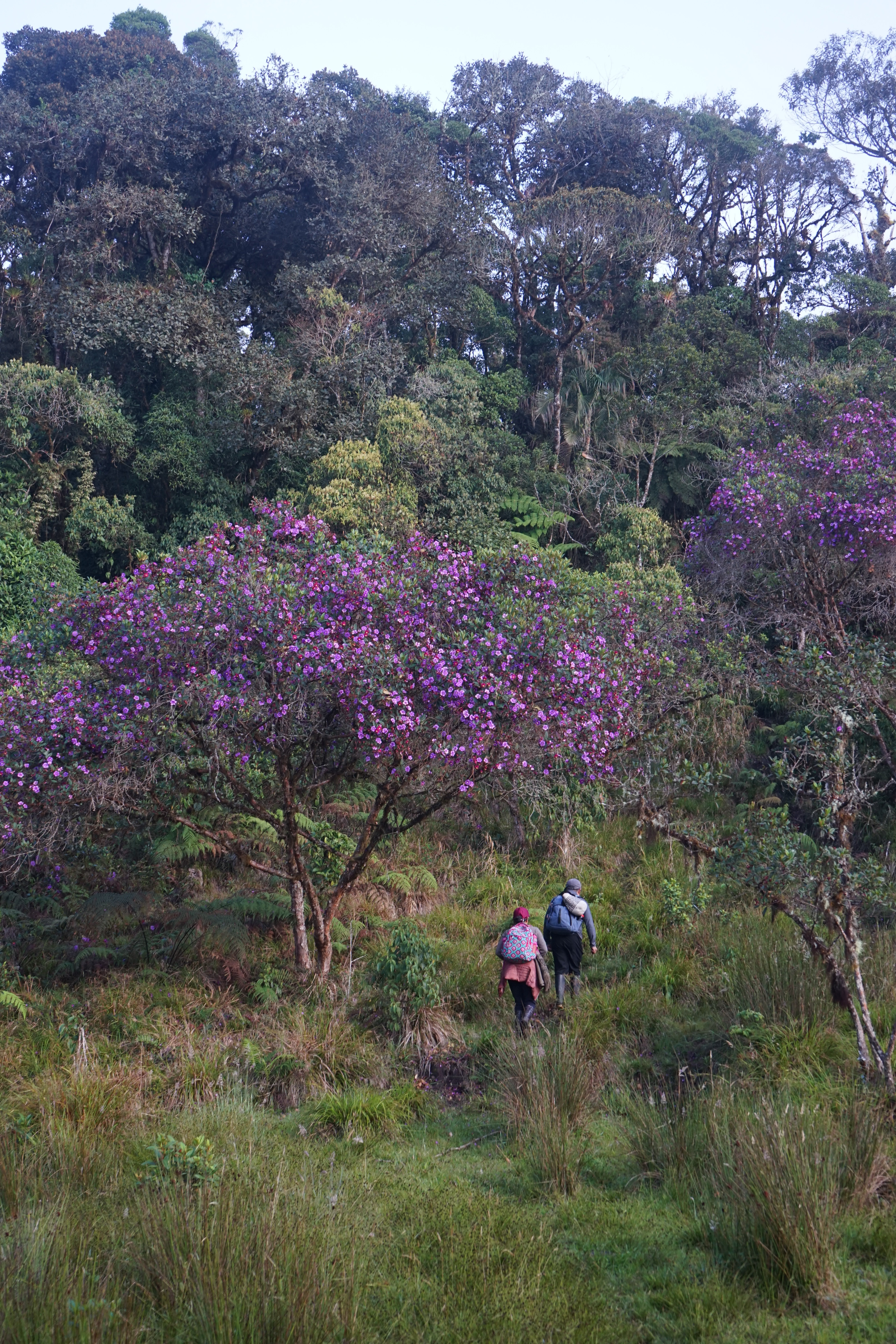
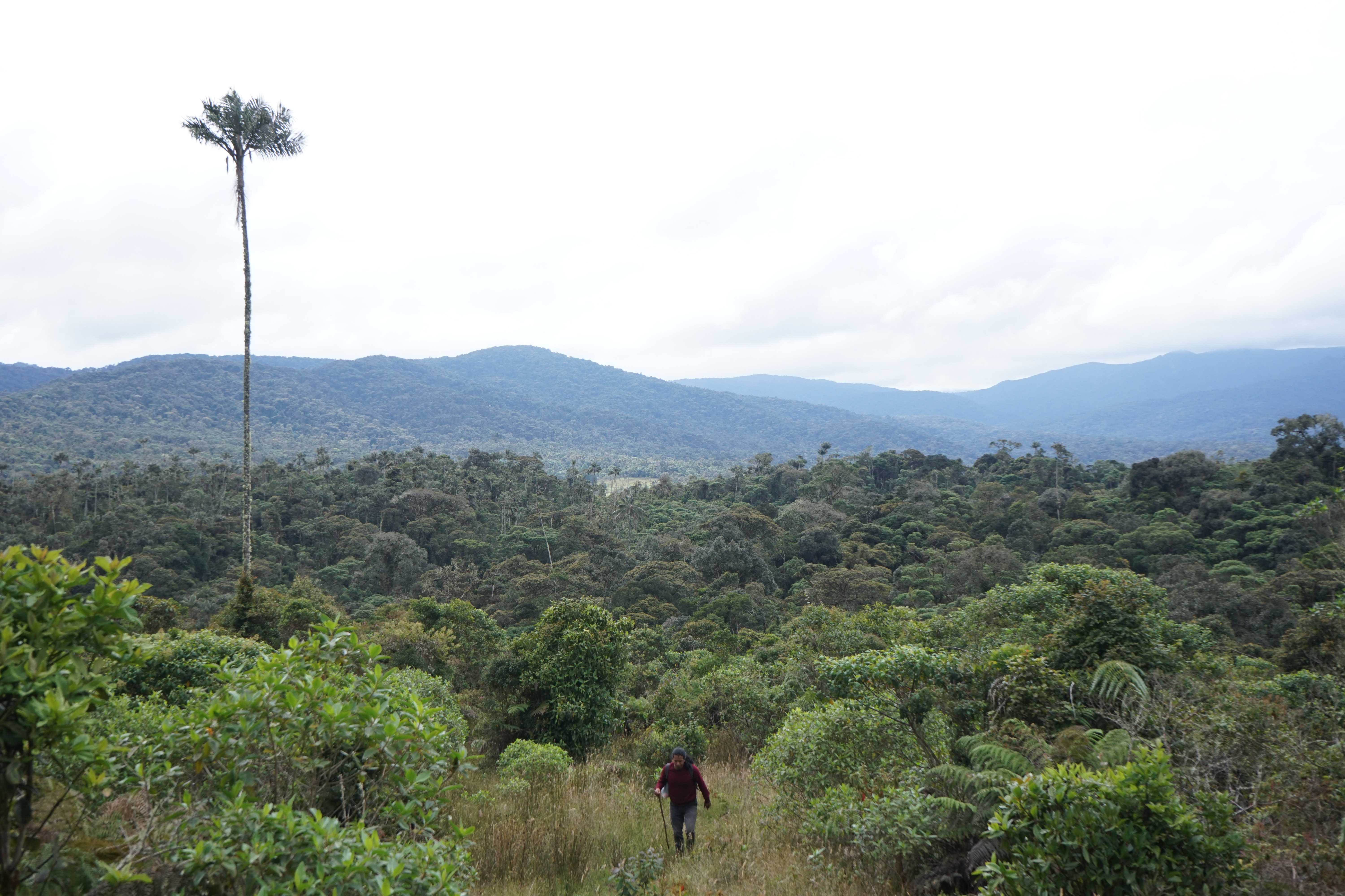
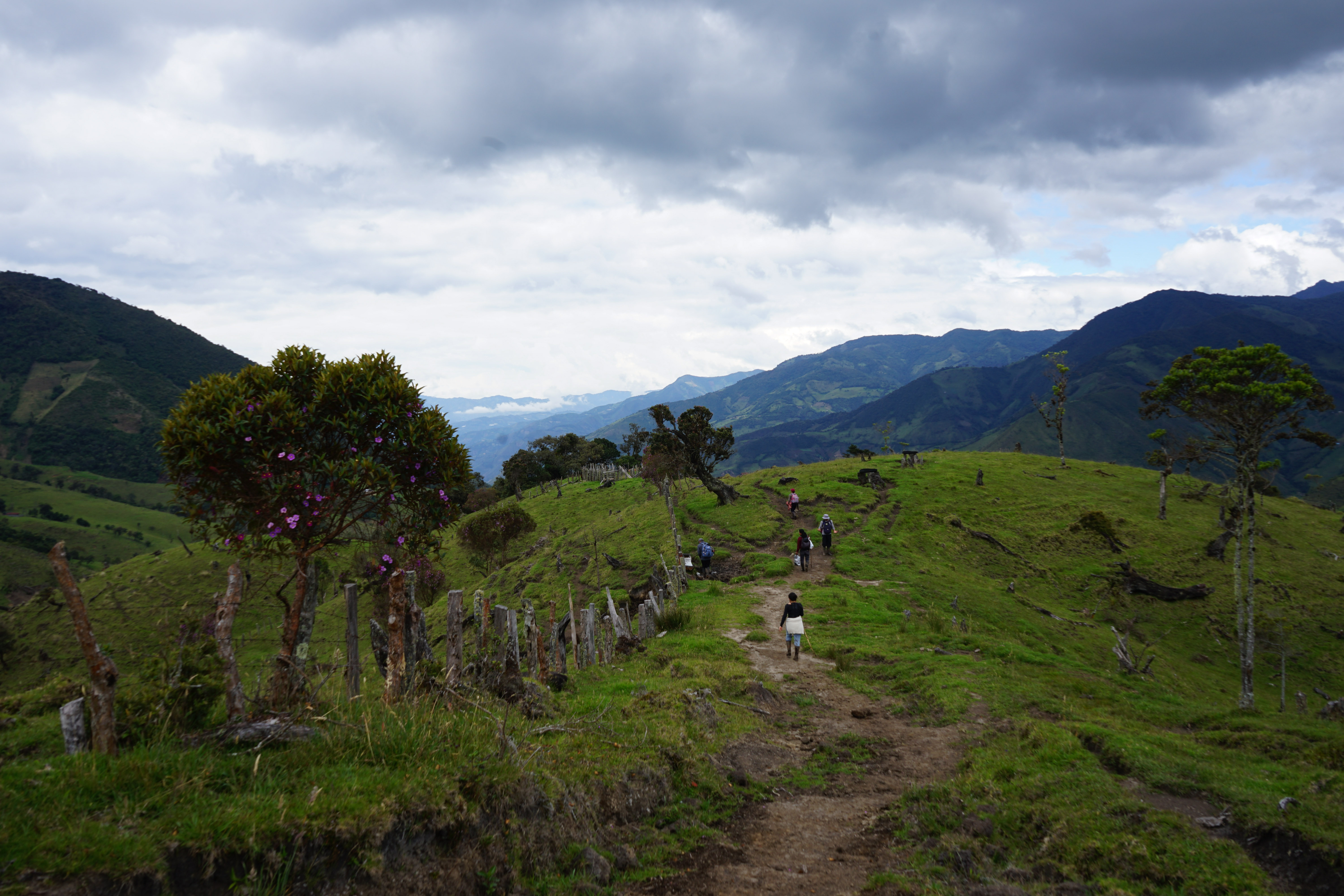
After a long steep climb through
avocado fields and prairies and
dense forest we arrived in clearing
with a view into neighboring
valleys. The perfect place for a
moment of rest.
Taita Serafin, the guide, explains
the importance of those paths.
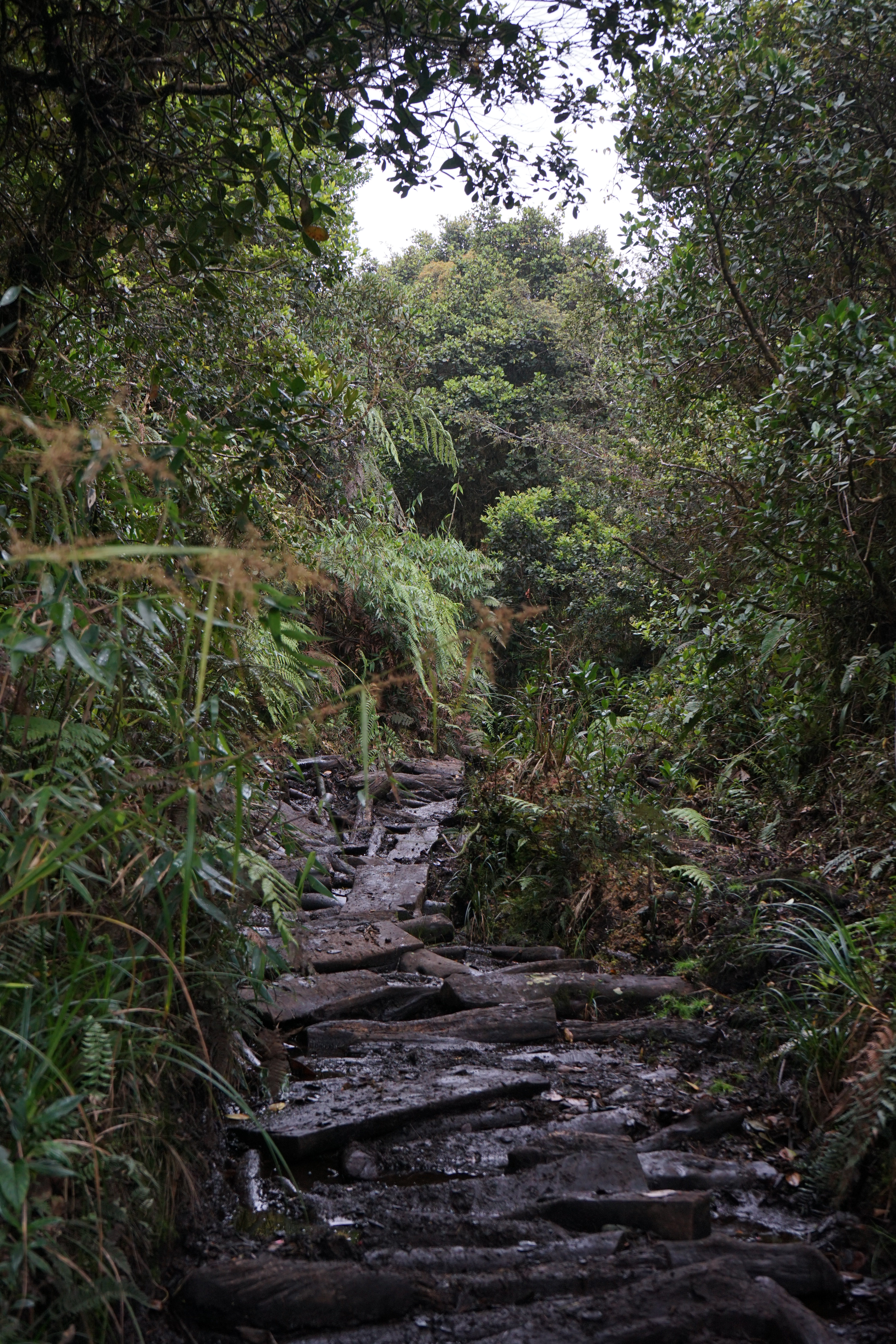
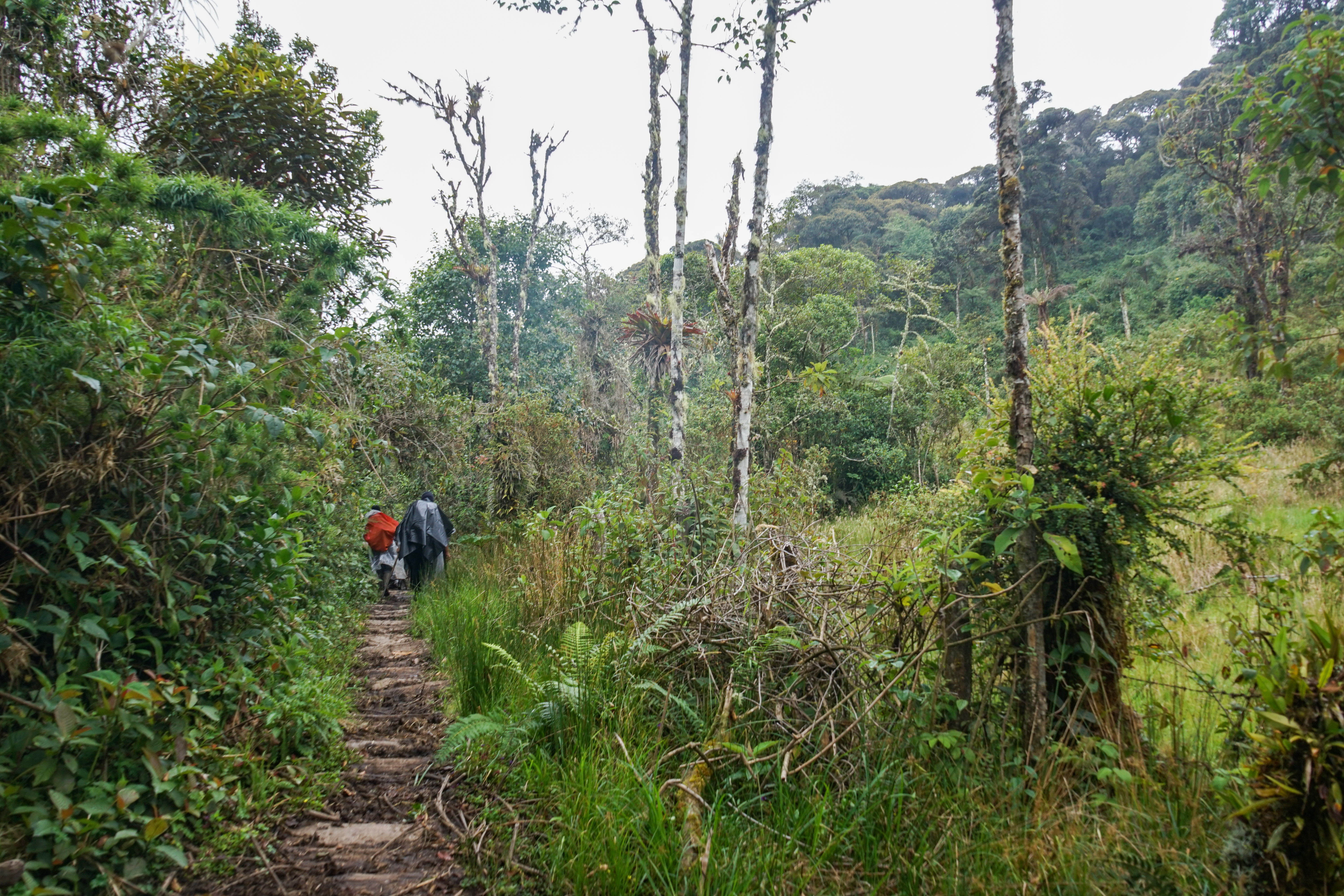
Getting out of a dense forest, a
new path begins entirely made
of logs. Someone tells the story
of how those logs were last
maintained by the guerrillas which
used this secret path for illegal
transportations.
After more than two hours of
intense slope the highest point is
reached, at 2770m. This marks a
major change of watershed: all the
water on one side goes all the way
toward the Atlantic ocean while
the other site toward the Pacific.
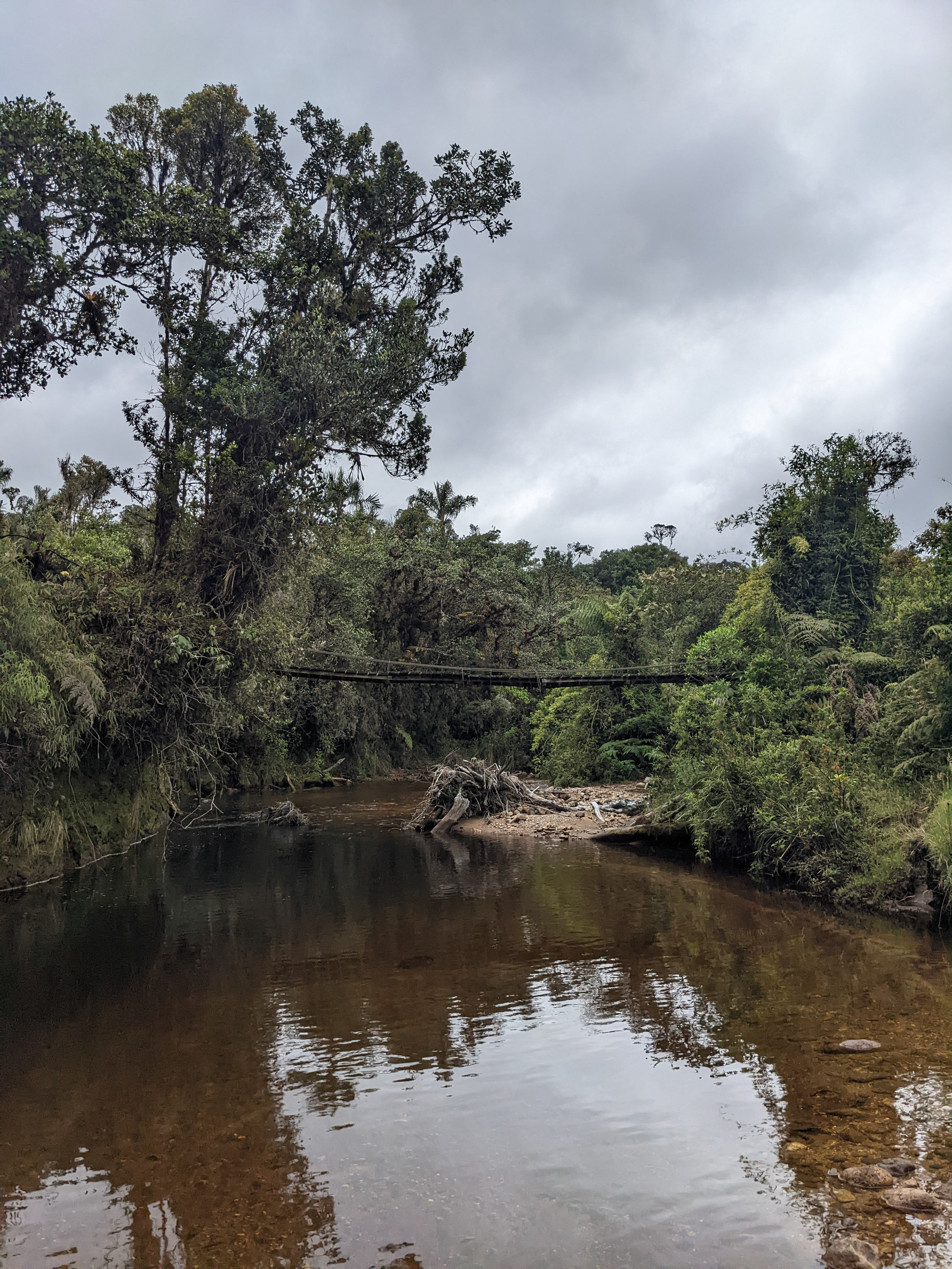
After walking down in a small
stream comes the first bridge,
crossing the Rejoya river.
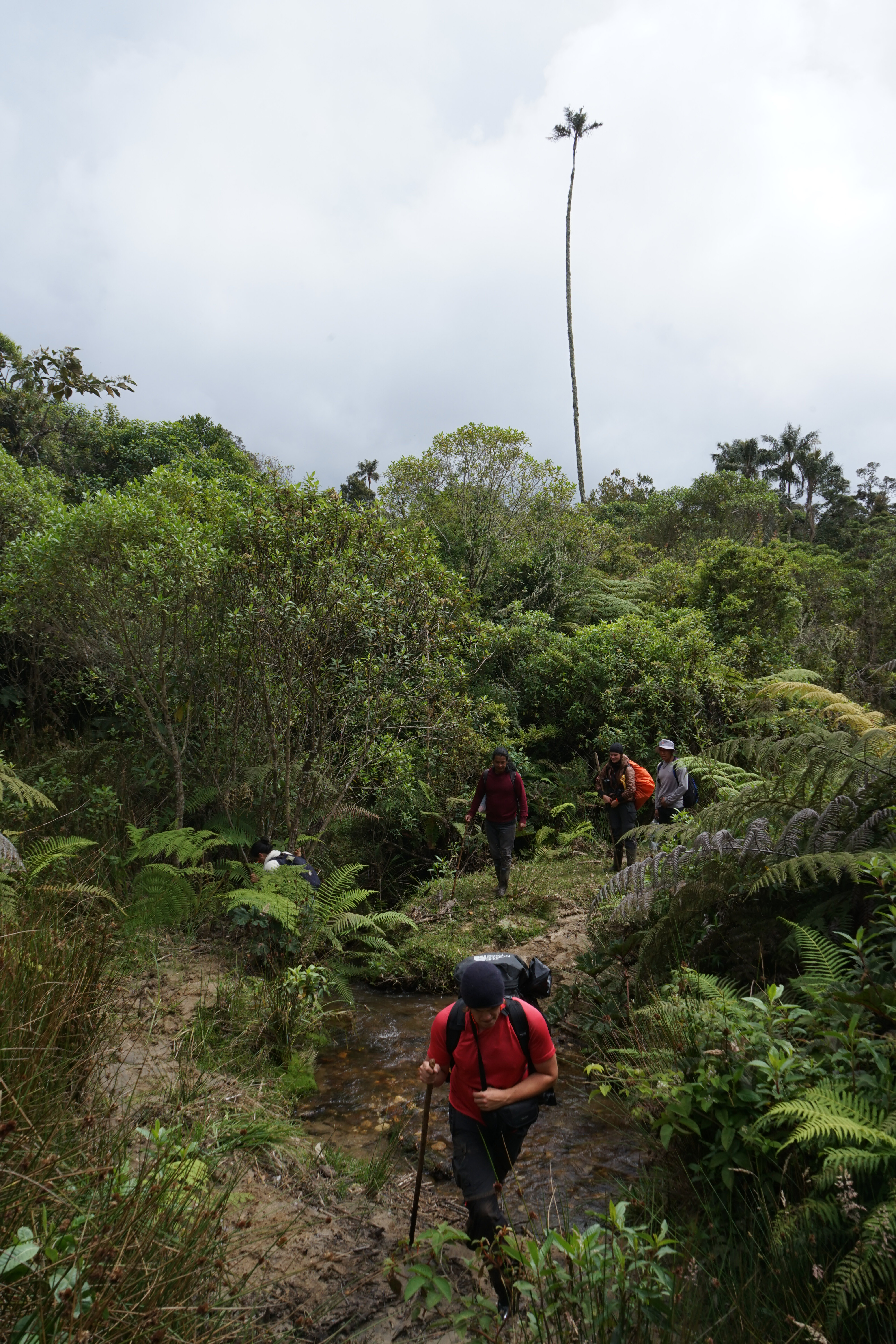
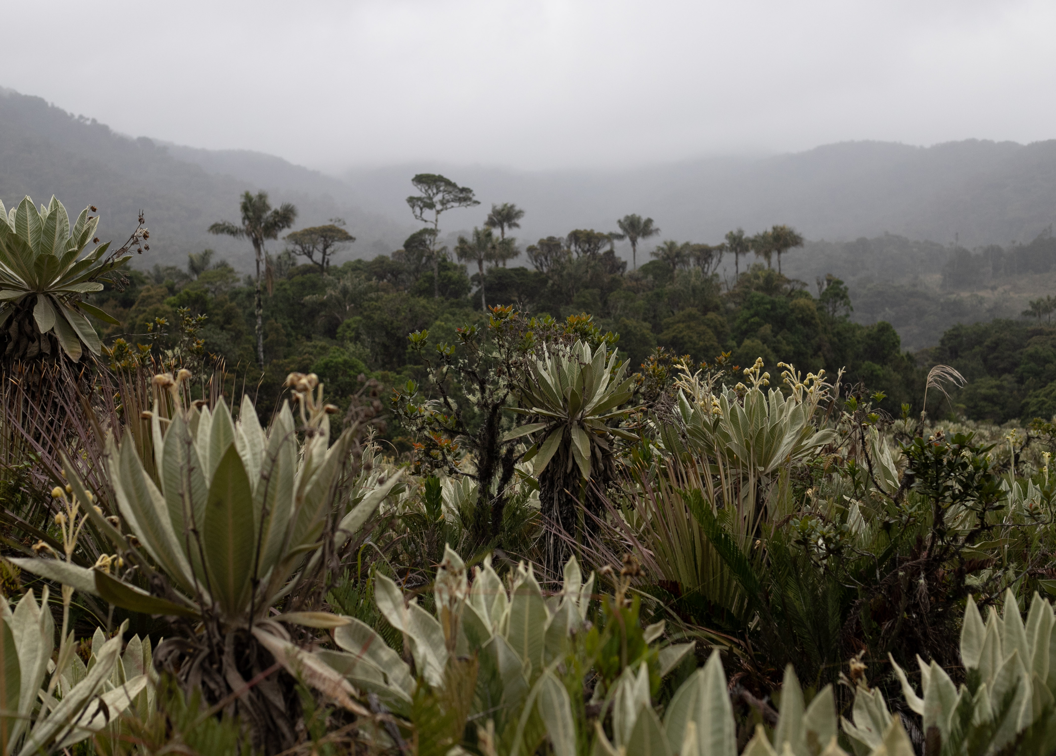
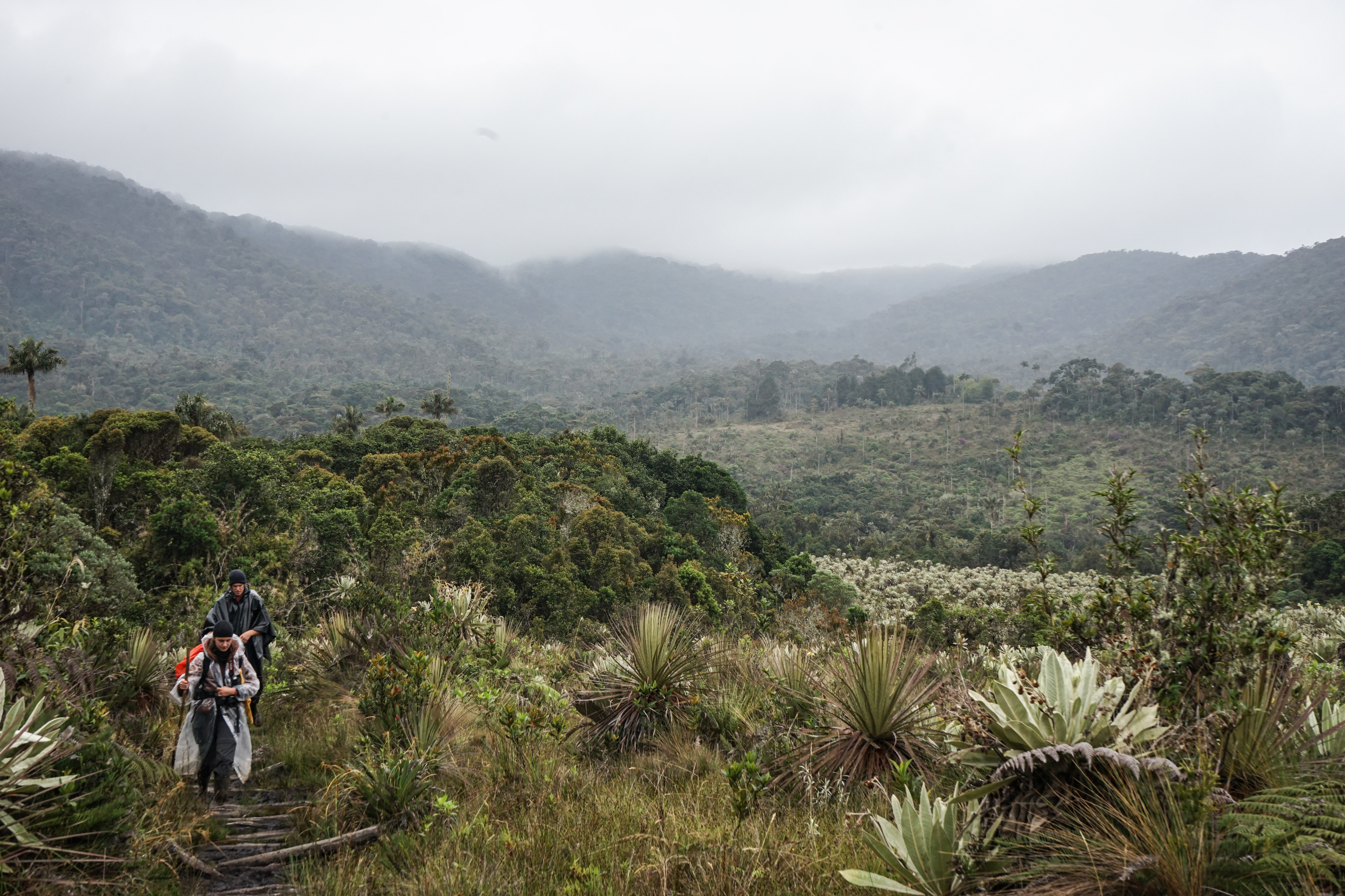
Reaching the first páramo. This
sacred landscape is unique to the
Andes mountains, found around
3000m high. It is both cold and
very humid.
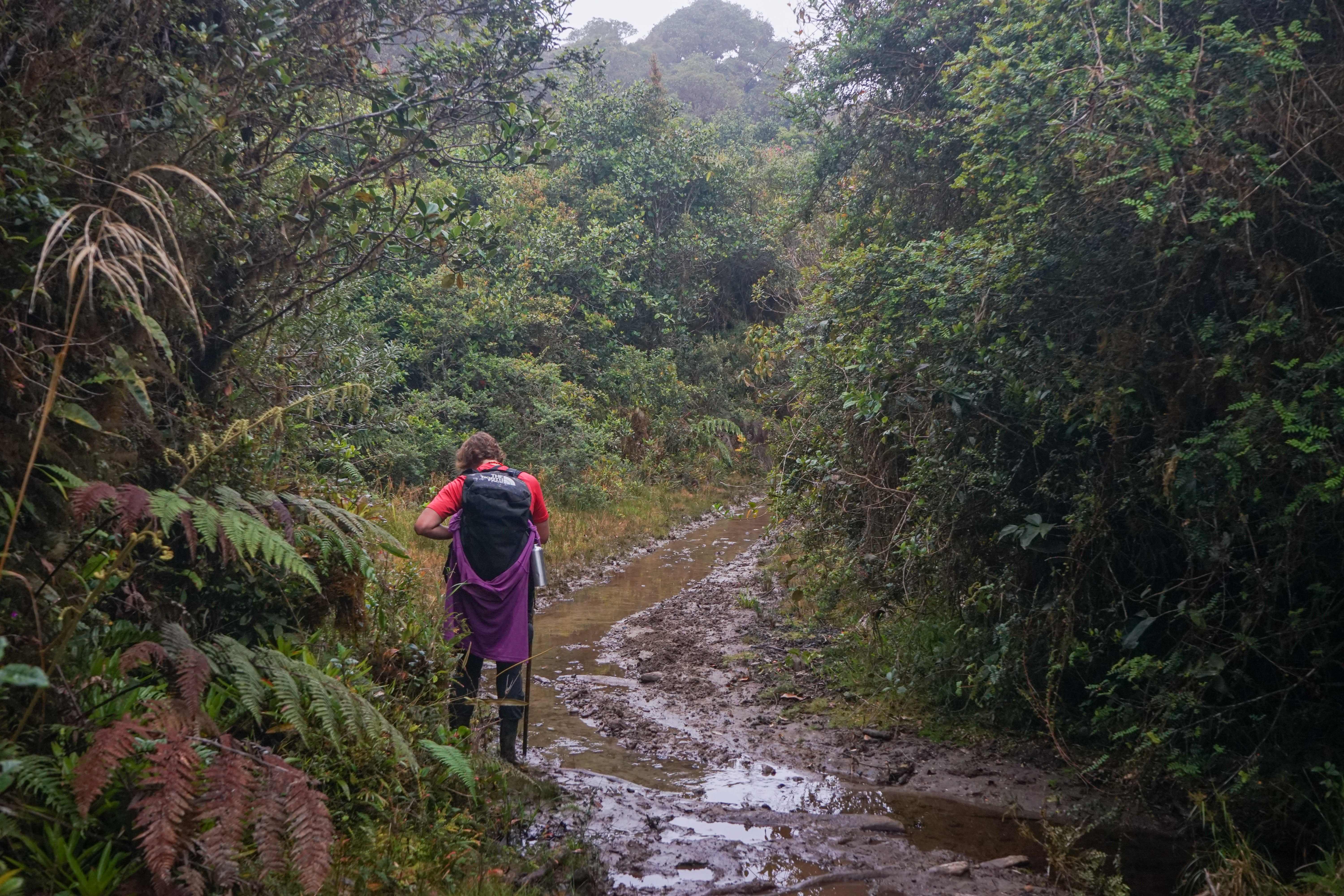
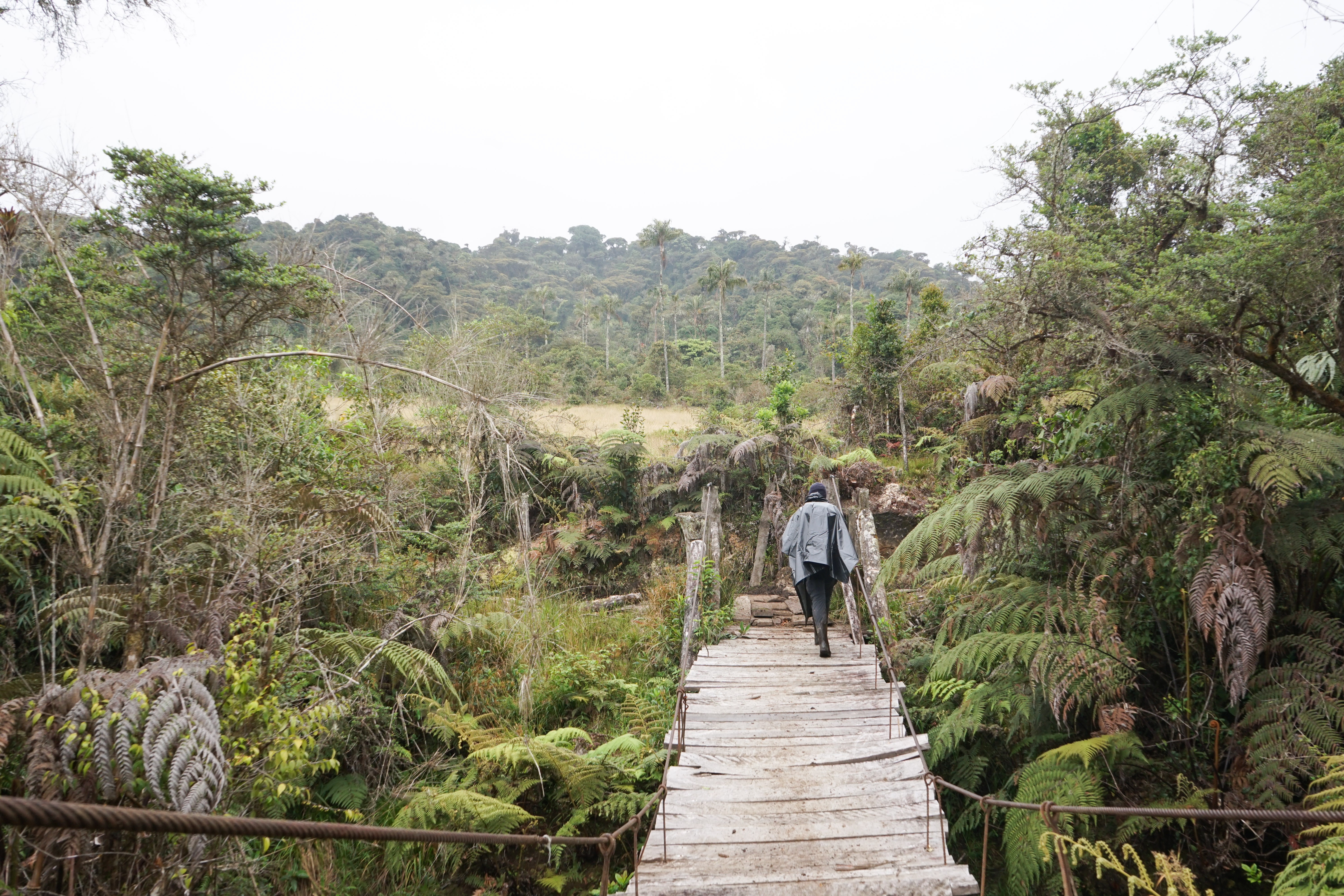
After almost three more hours
of skipping from log to log we
reached a bidge, quite in a bad
shape. Here, we imagine building
a bridge with a roof and benches,
were one could stay and enoy
lunch is a dry place.
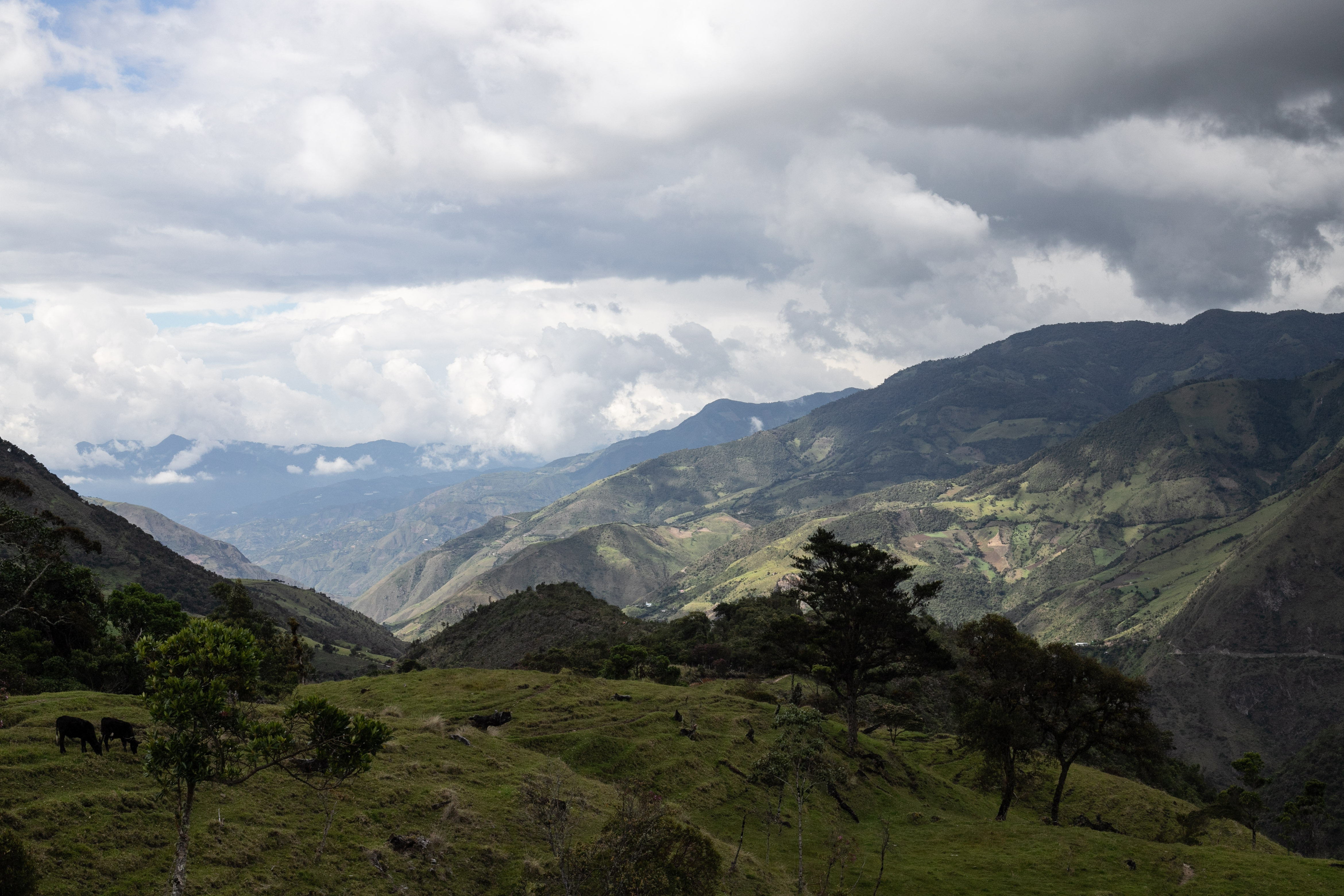
As we walk by a cattle farming
field, we remember the story of
taita Hernando which used to walk
this path with cattle to finance his
education.
Second páramo. Páramos are
mysterious, sacred and longed for.
They are also exploited and are
currently under multiple severe
threats including large-scale
mining and climate change.
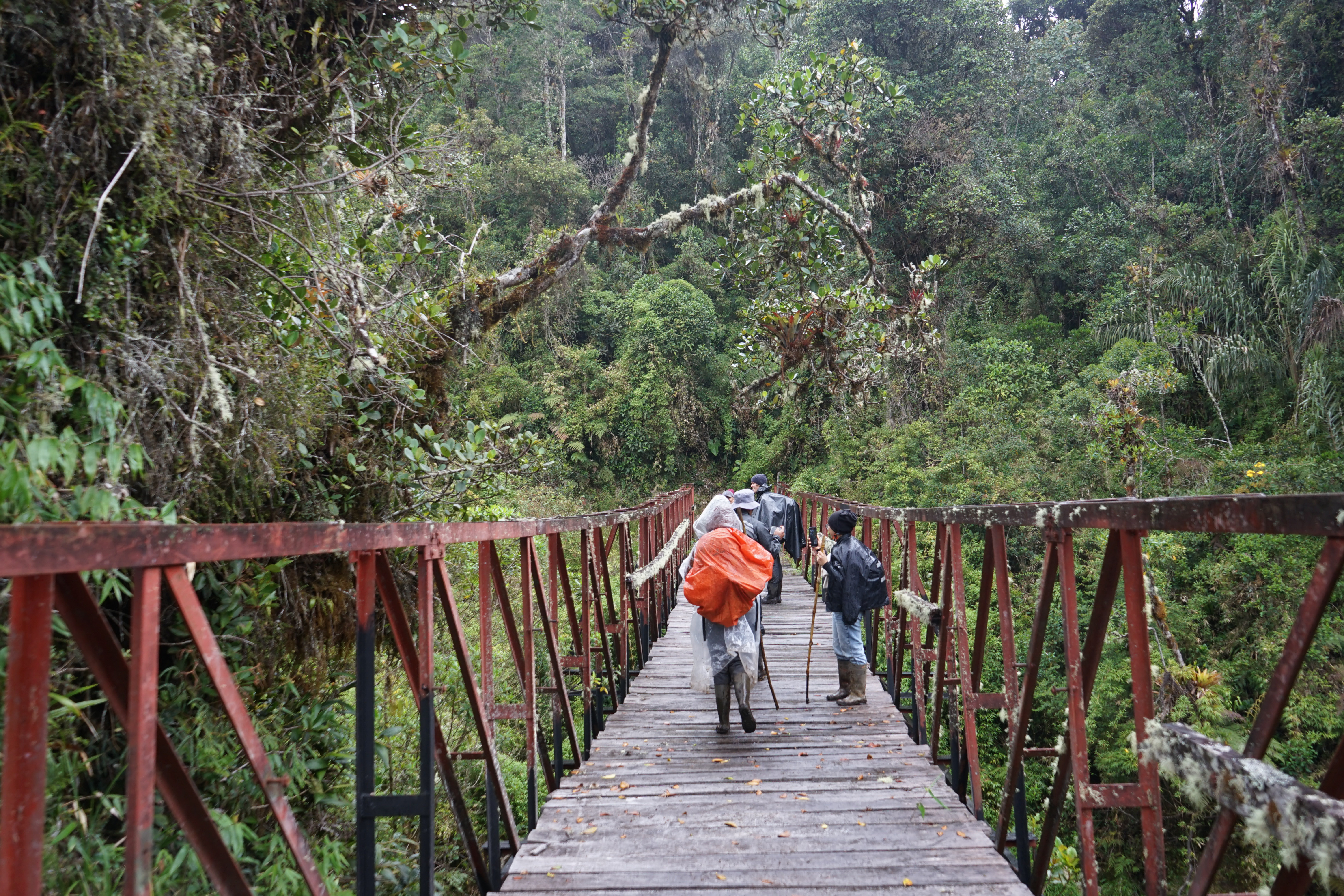
We reached a long metallic bridge
to cross the black river.
Crossing a fourth bridge, in the
company of a white dog. They are
houses near by
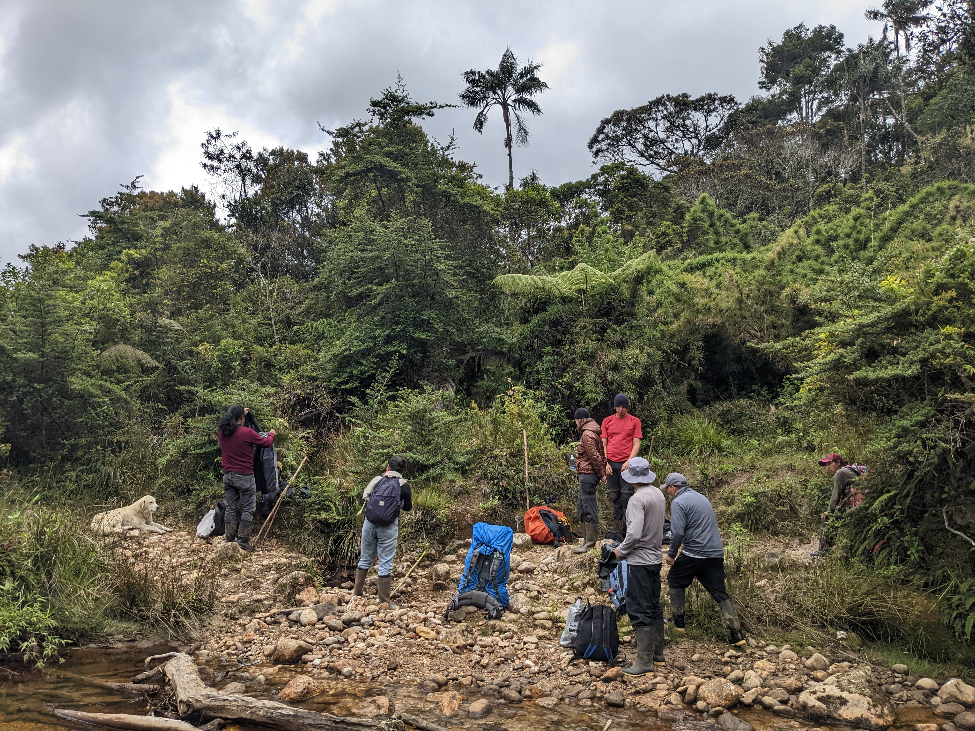
Here, we took a lunch break. On a
good day, we could imagine going
for a swim.
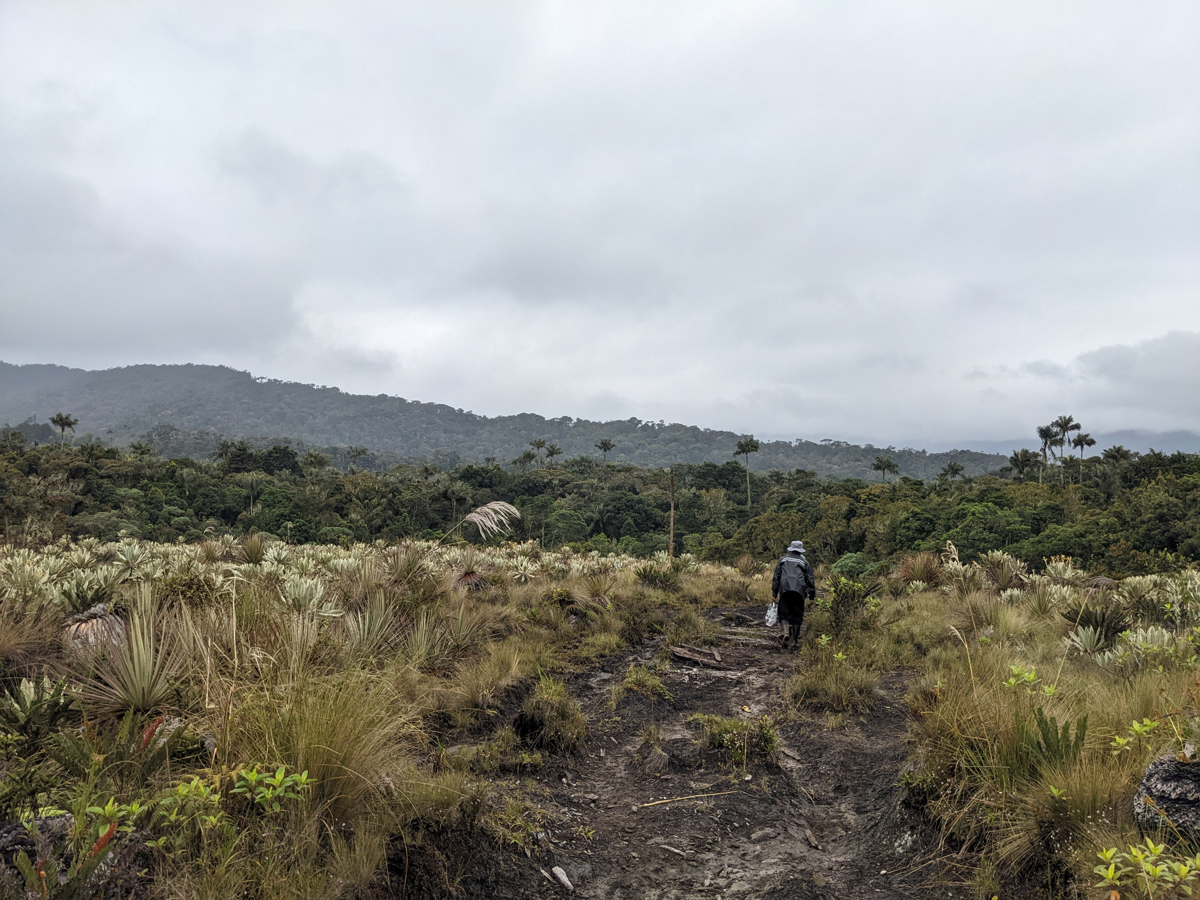
Third and last páramo. Here, on
top of the Andes lies the source of
the water of Colombia. Páramos
supply over 70% of the water for
the population.
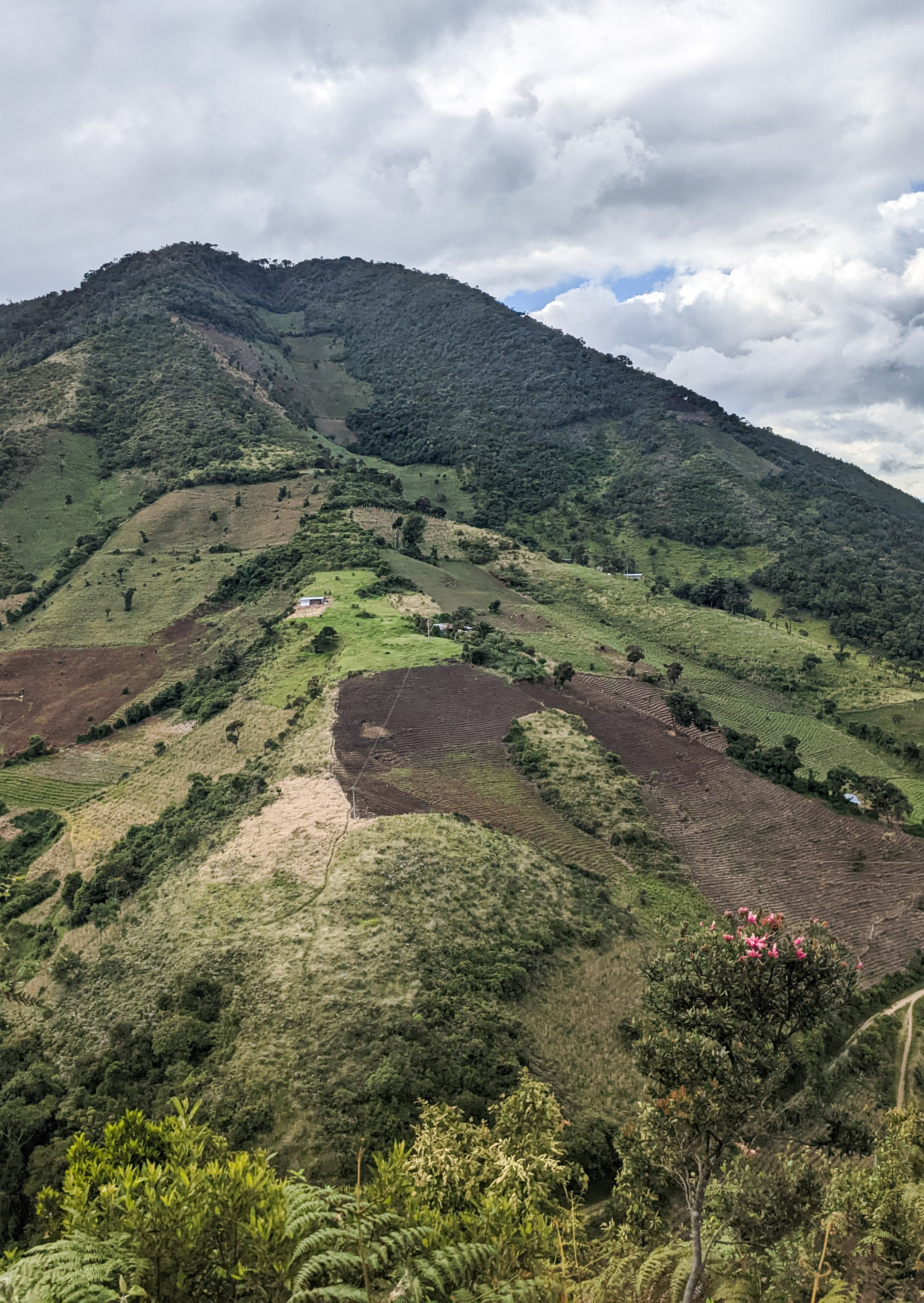
Entering a former cattle farming
field. This deforested area
constrasts with the dense forest
sourrounding.
Here in this deforested area we
imagined a shelter. Tambu Turu
would offer a place of resta for
collective sharing of food and
stories around the heat of the tulpa
(fire).
Visit Tambu Turu in its 3 phases of construction
Visit Tambu Turu in its 3 phases of construction
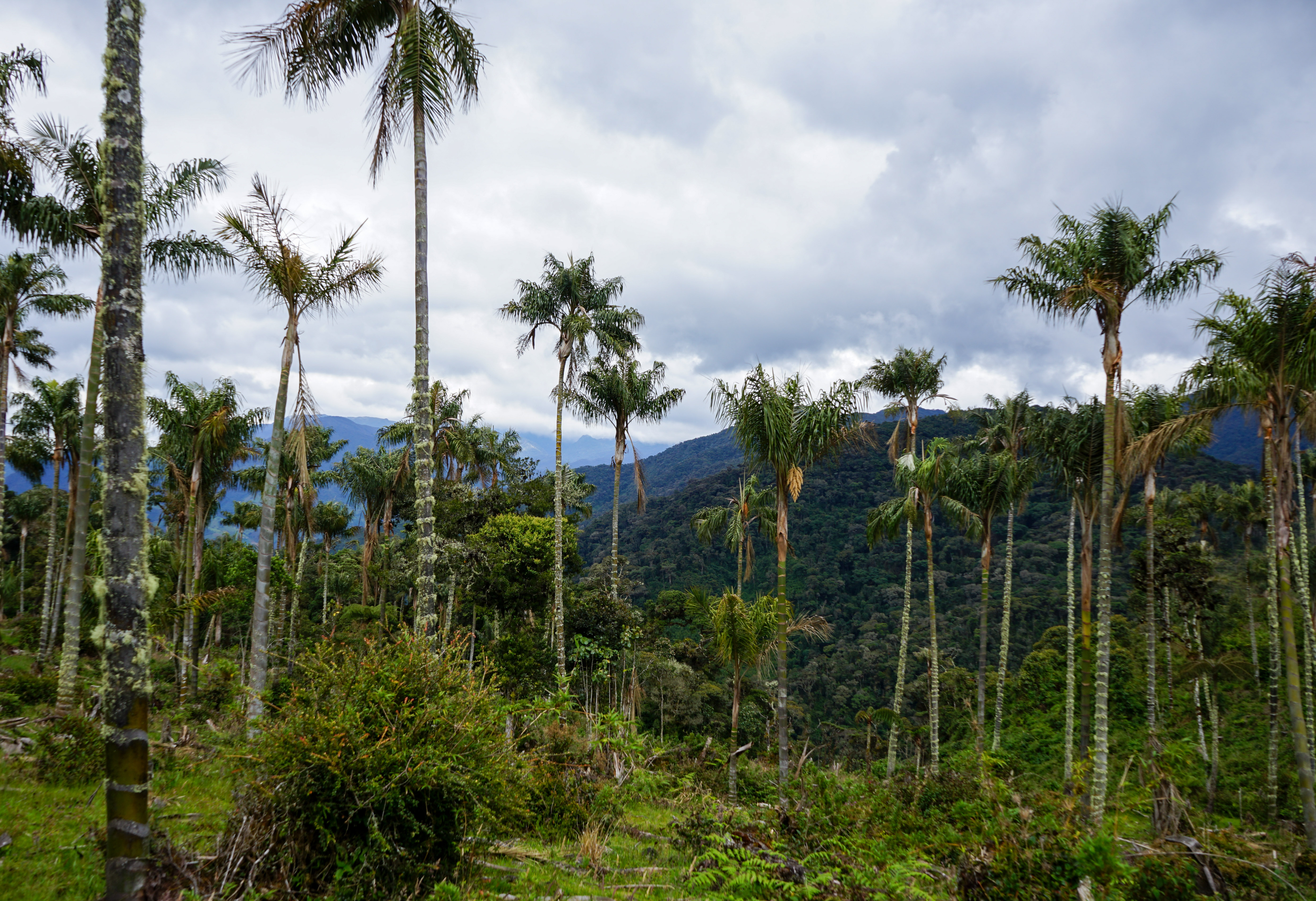
As we are walking up a gentle
slope, we cross a field of palm
trees.
Reaching the 'gritadero'. Where
the valley tightens a gap between
two trees offers the opportunity for
one to shout, if loud enough the
echo is said to be heard in far away
cliffs down the valley
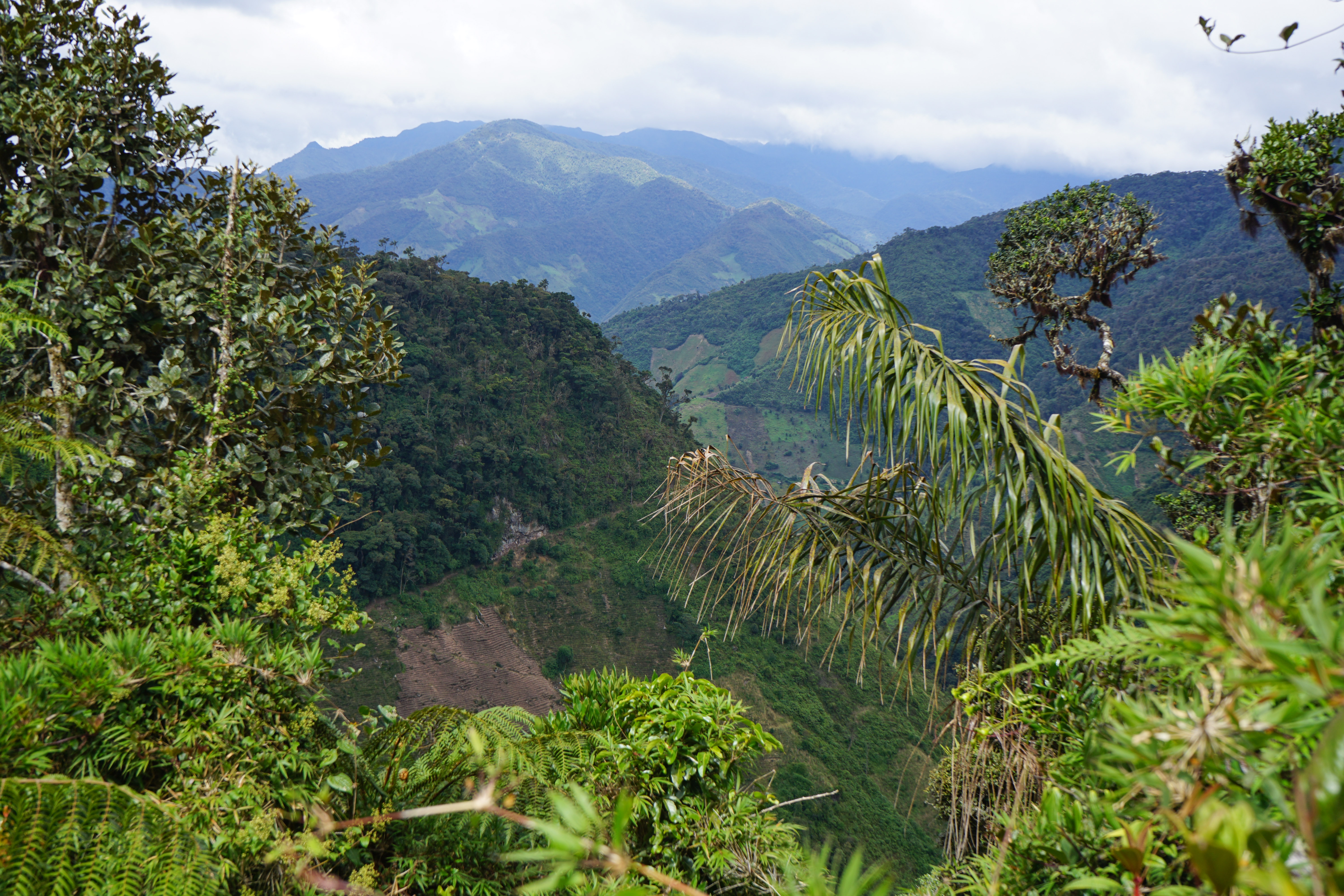
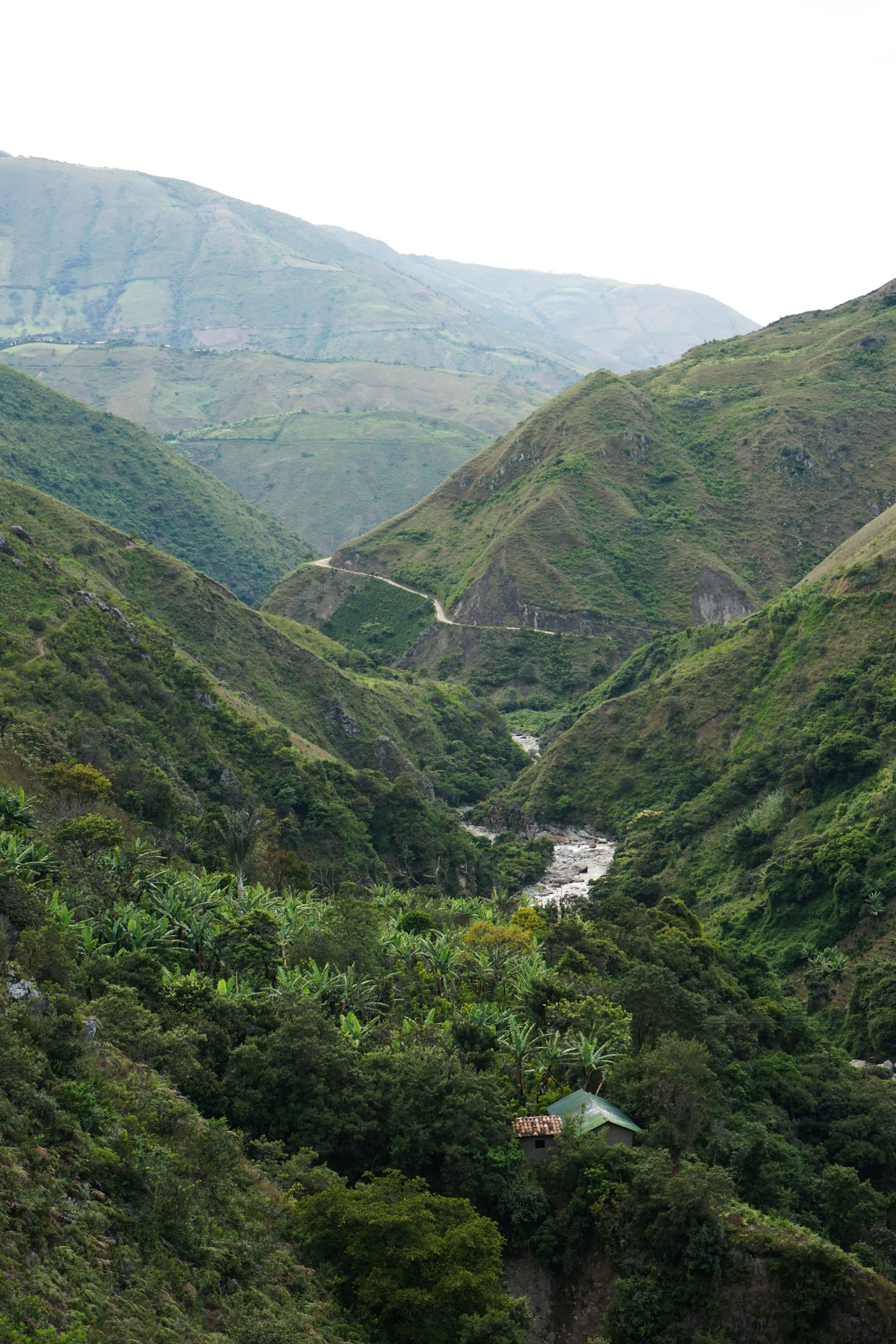
After more than nine hours
walking between dense frest the
view finally opens towards the
valley of the Juananbú river
On the edge of the mountain we
took our last break, eating with a
view on the Andes deep valley.
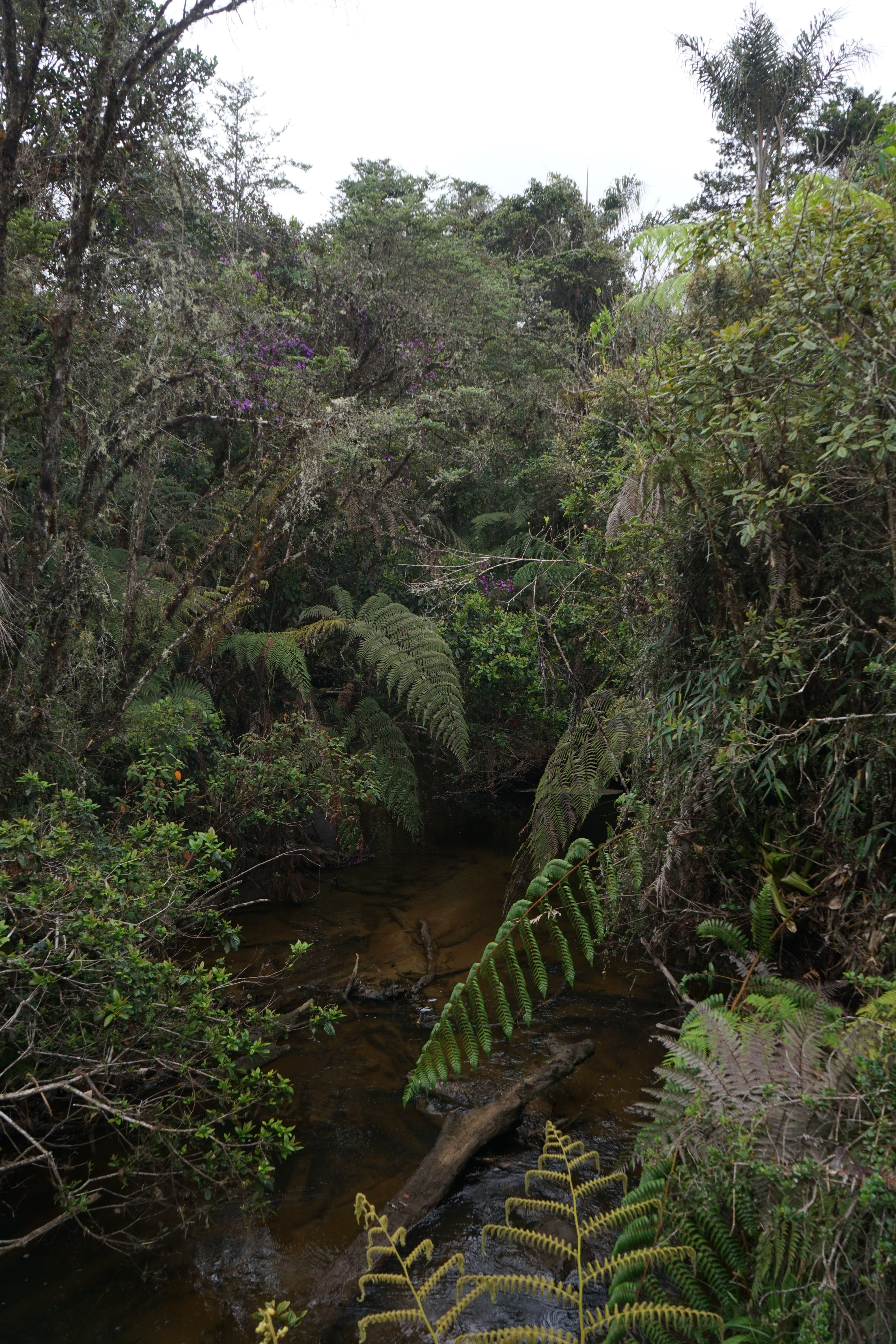
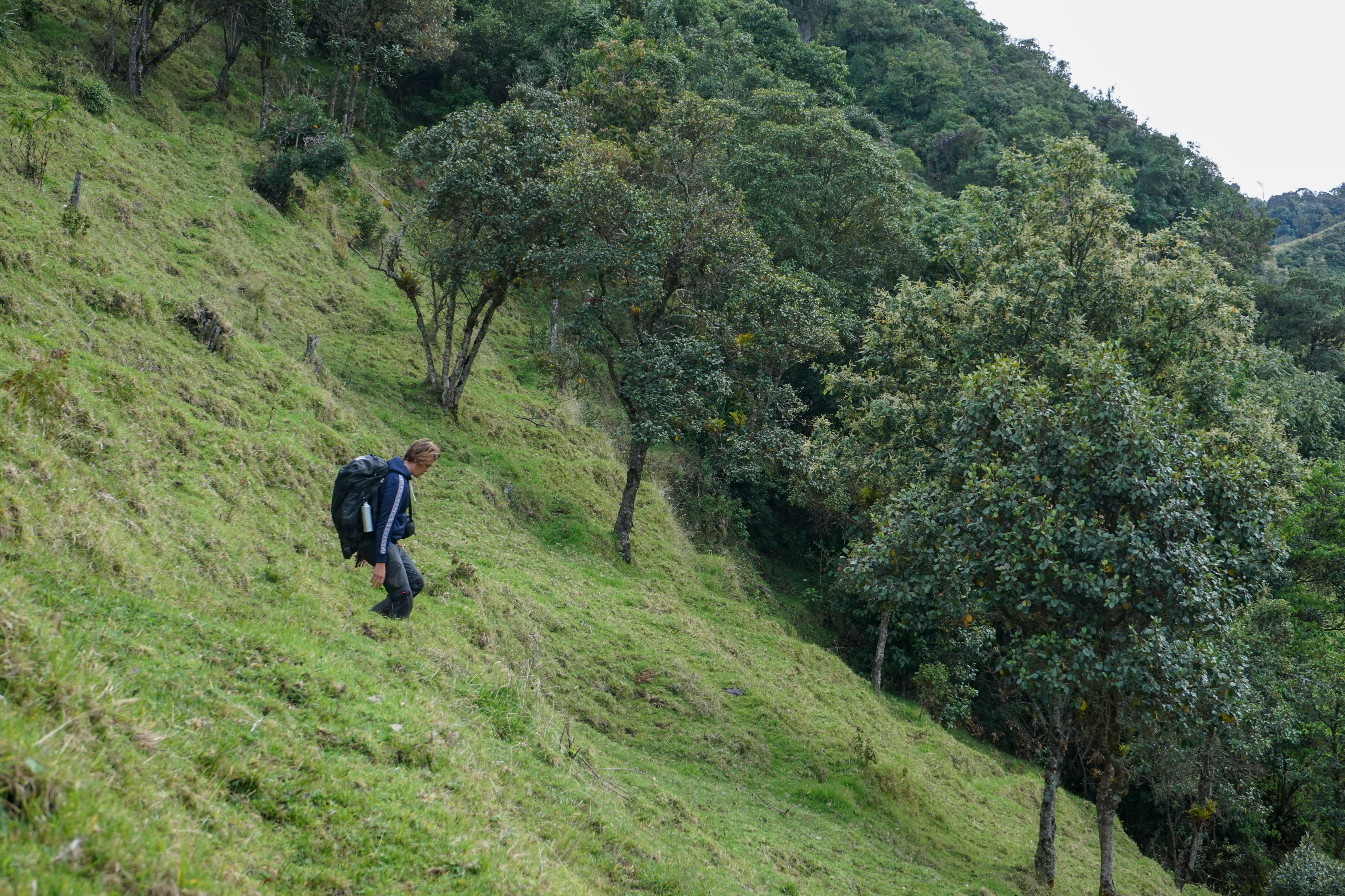
Going down the hill and crossing a
small stream
As we are wlking we pass next to
a poppy field plantation. The illicit
crop used in the production of
Opioids is still common outside of
Inga territories.
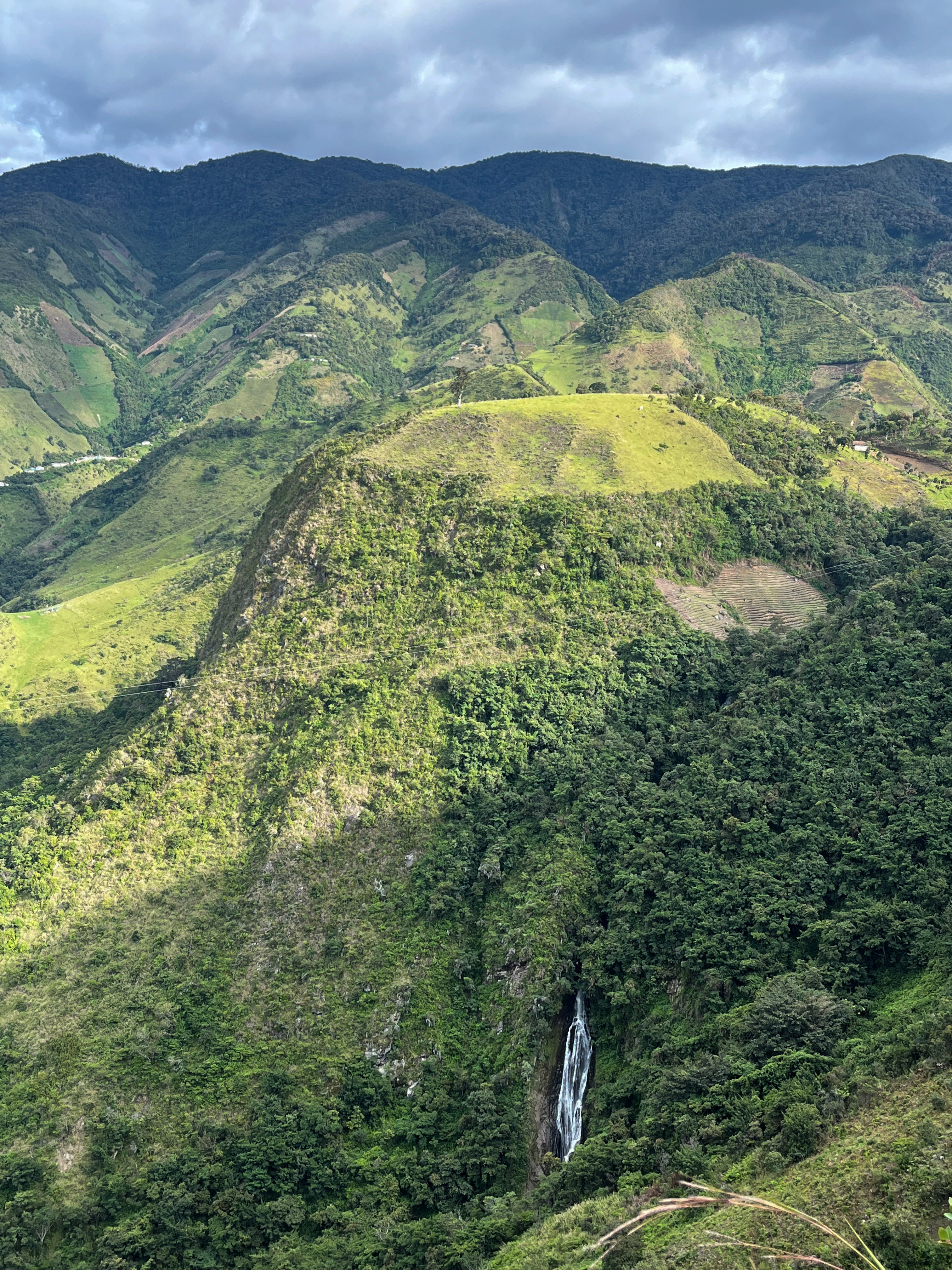
As we are walking down and
around a hill, a cascade suddenly
appears.
Crossing the last bridge over the
Juanambú river.
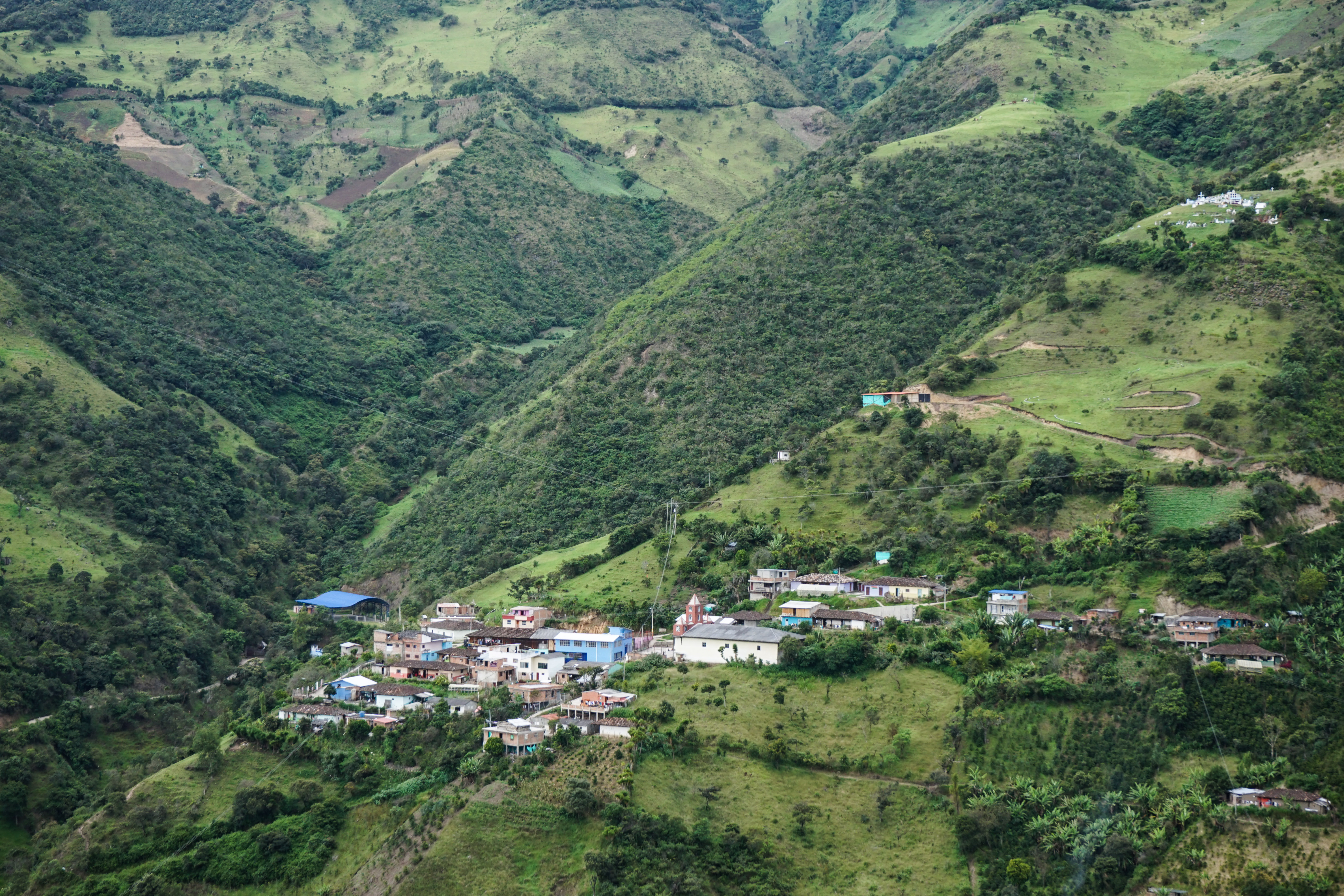
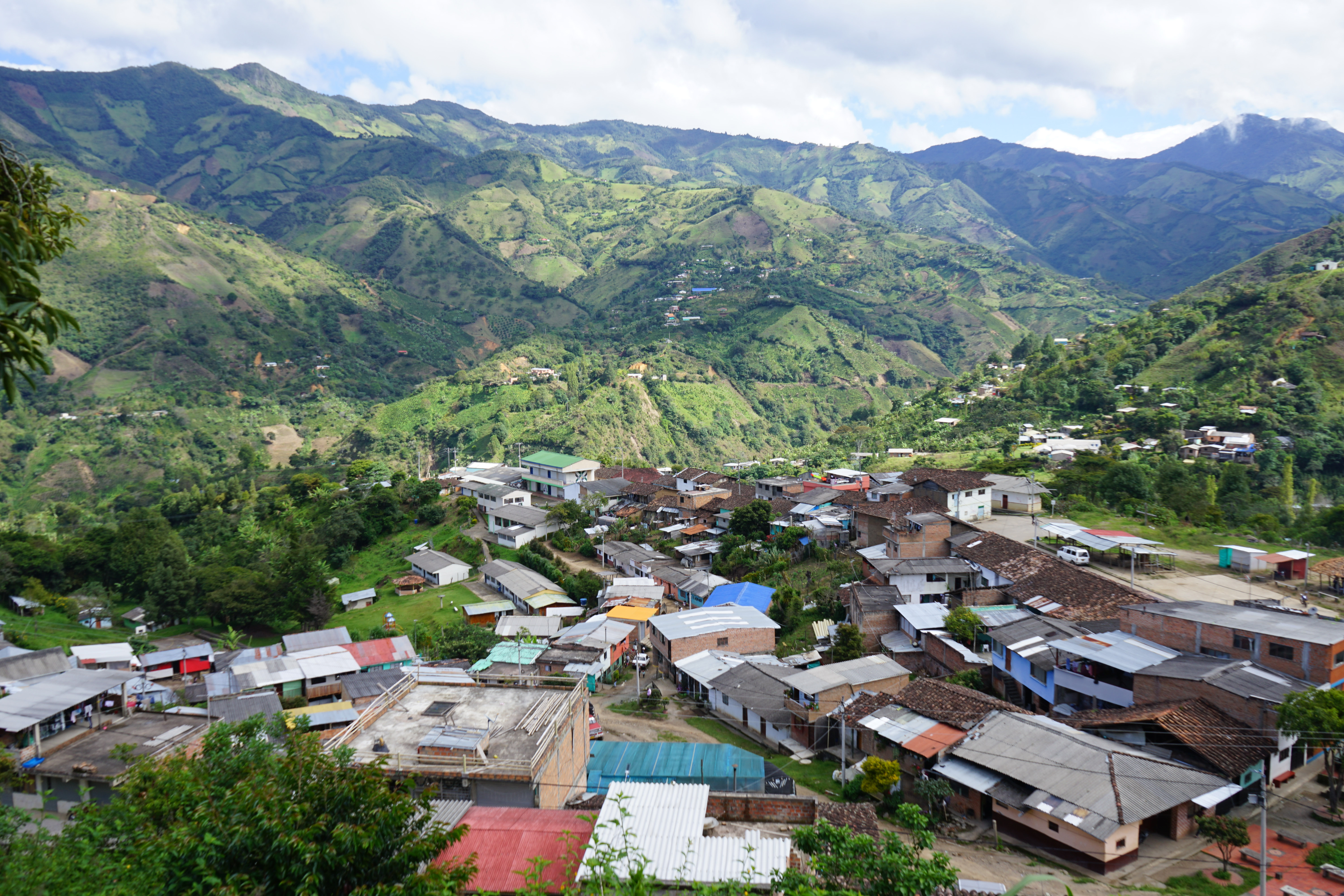
We arrived at Pompeya. A car pick
us up for the rest of the path.
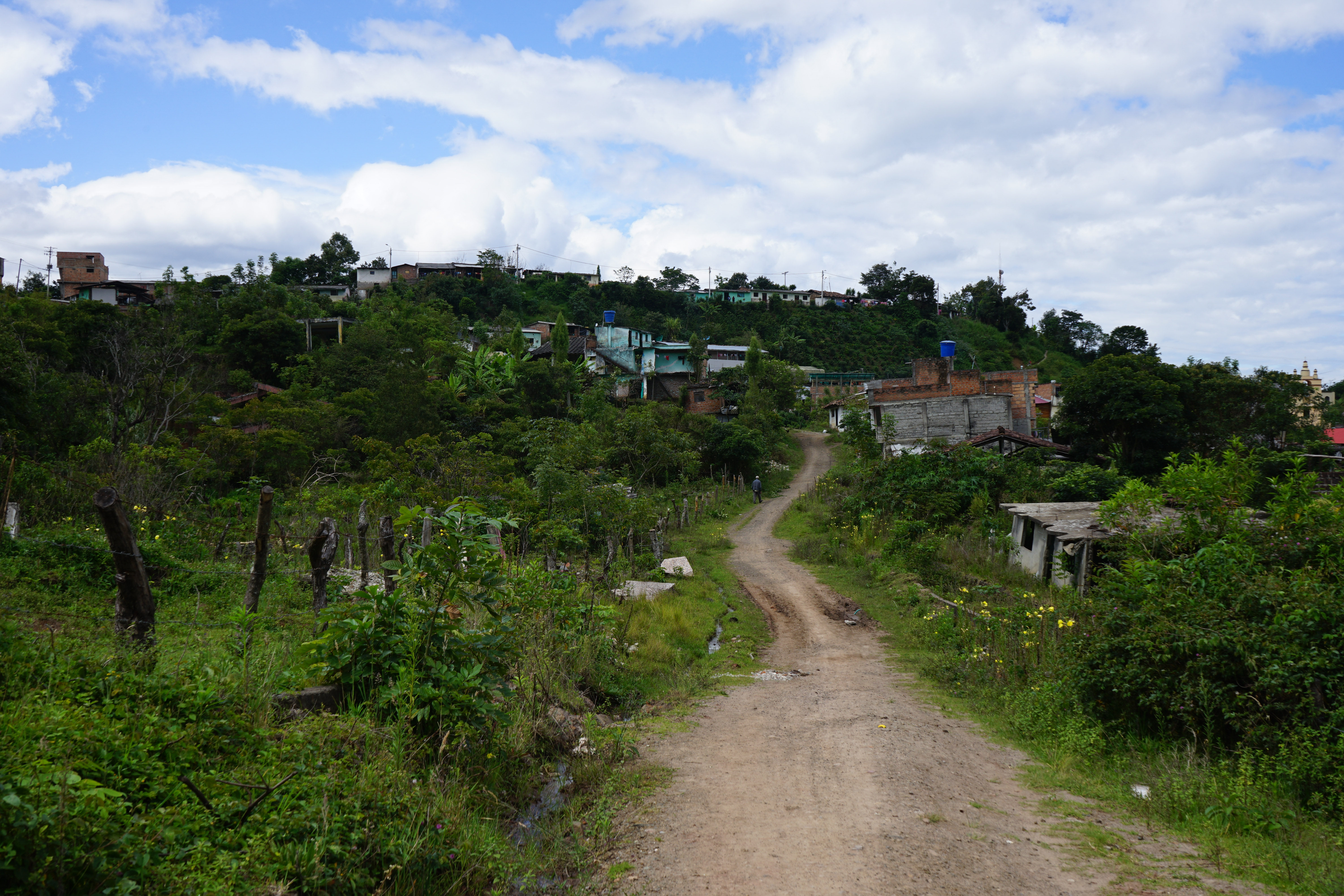
We enter the Inga resguardo of
Aponte. These territories are the
legacy of Carlos Tamoabioy.
Finally we arrived at our final
destination: Aponte. There, Liz
grand-mother is waiting for us.
While eating delicious food, she
tells us many stories about this
path and how she walked it many
times when a little girls as she was
going to school in Colón.