We drove up the valley past San
Francisco. where the highway is
being built.
La Variante, The road construction site connecting the Sibundoy
Valley and Mocoa. Connecting the
Andes with the Amazon. A controvertial project
The start of the walk is where the
last section of the Highway has
been built. Located on the saddle
between Valle Sibundoy and the
Rio Mocoa.
Ancestral Paths
- The path has a history reaching
long before colonial times.The
path was used as a trade and communication route by indigenous
peoples before Monks and Conquistadores used the path on the
search for the El Dorado.
Several catholic shrines are along
the path. They are a testimony of
the periles of the path
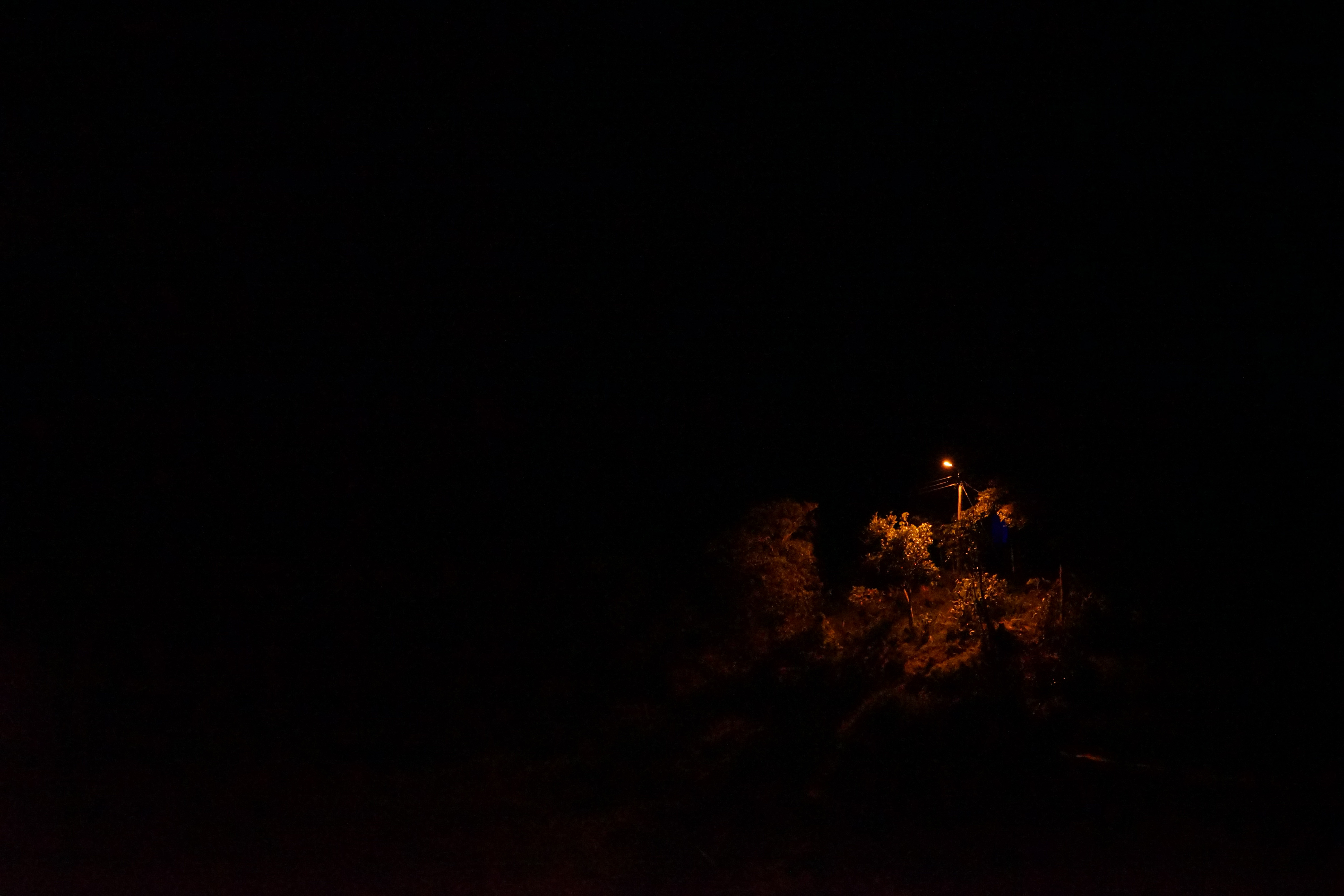
A small village appears in the dark,
street lights show points in the
endless darkness.
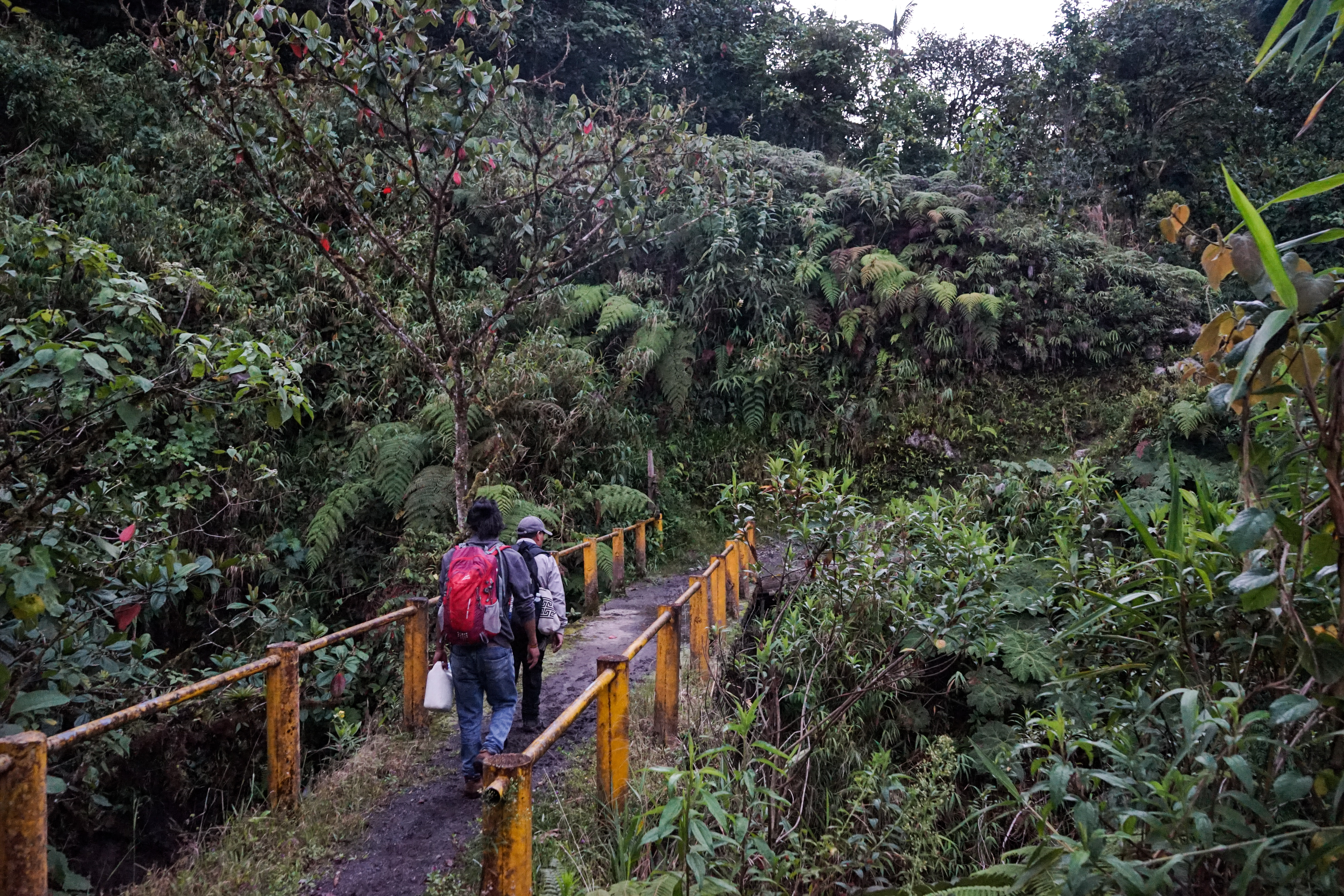
In the village the path is made out
of concrete slabs. A road which
facilitates transport by motorcycle.
Crossing the river La Susuunga over a concrete bridge.
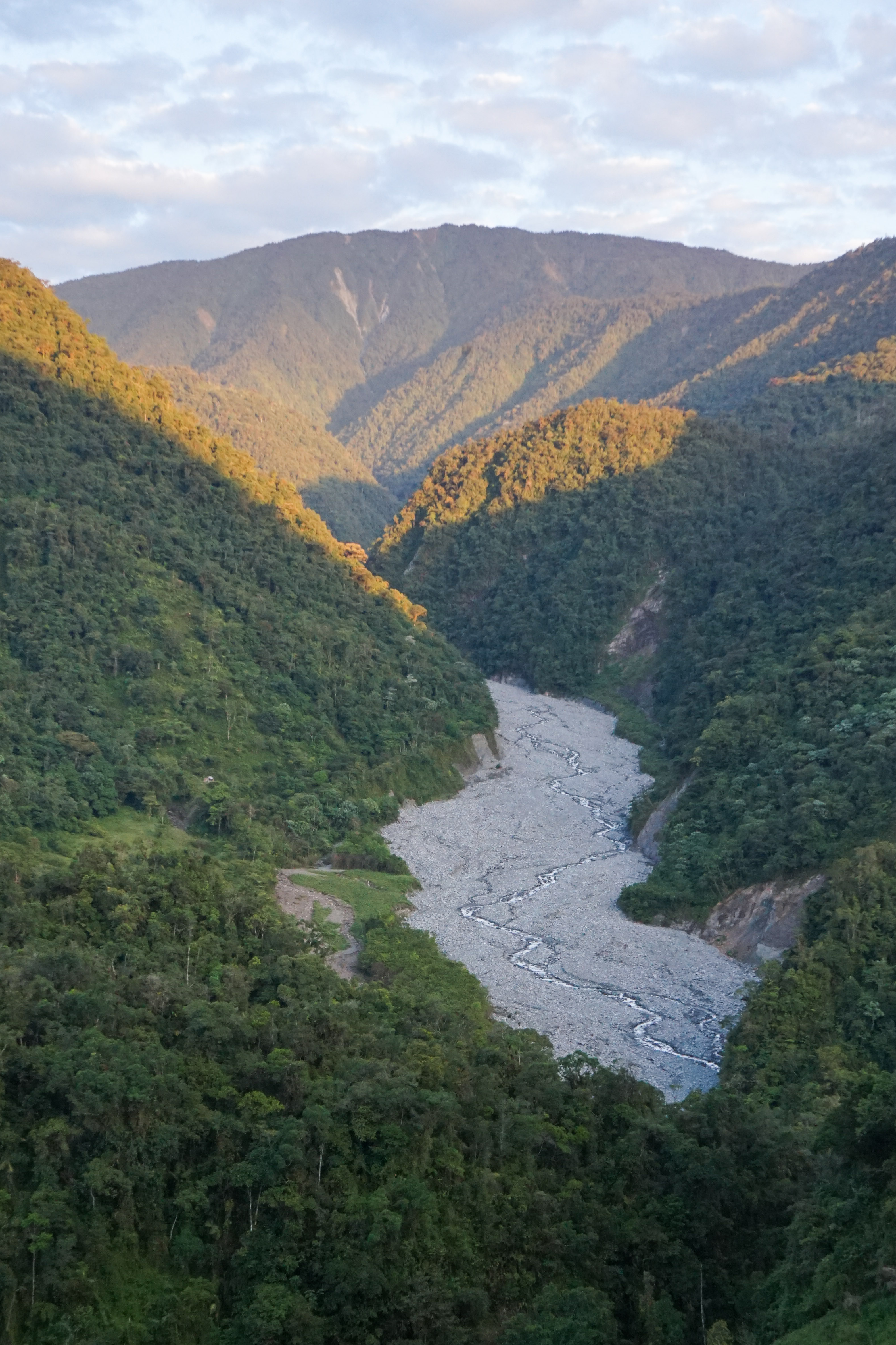
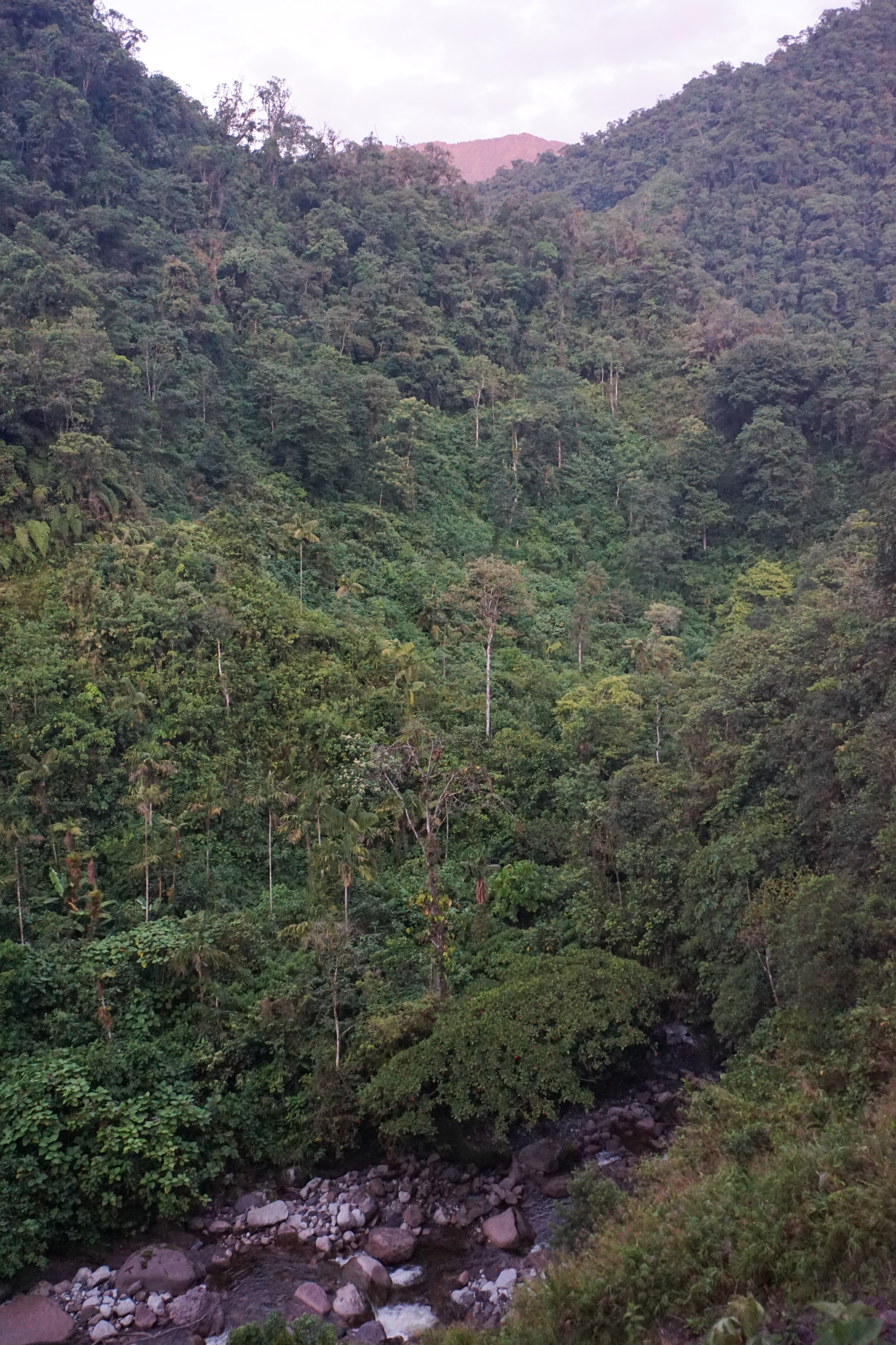
View on Río Patoyaco and its extensive gravel riverbed. The size of
the rocks indicates the strength of
the rivers that flow down the steep
valleys.
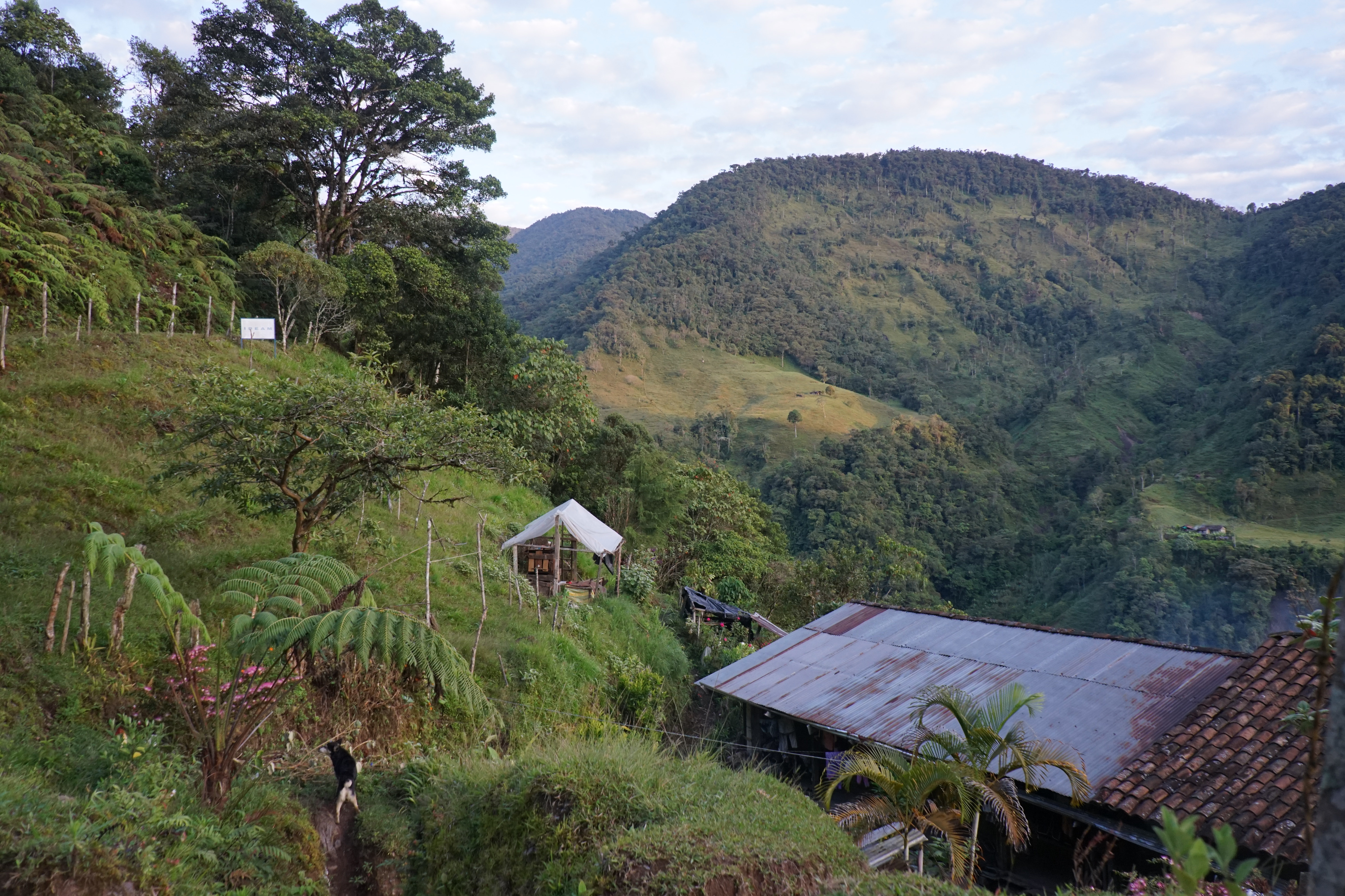
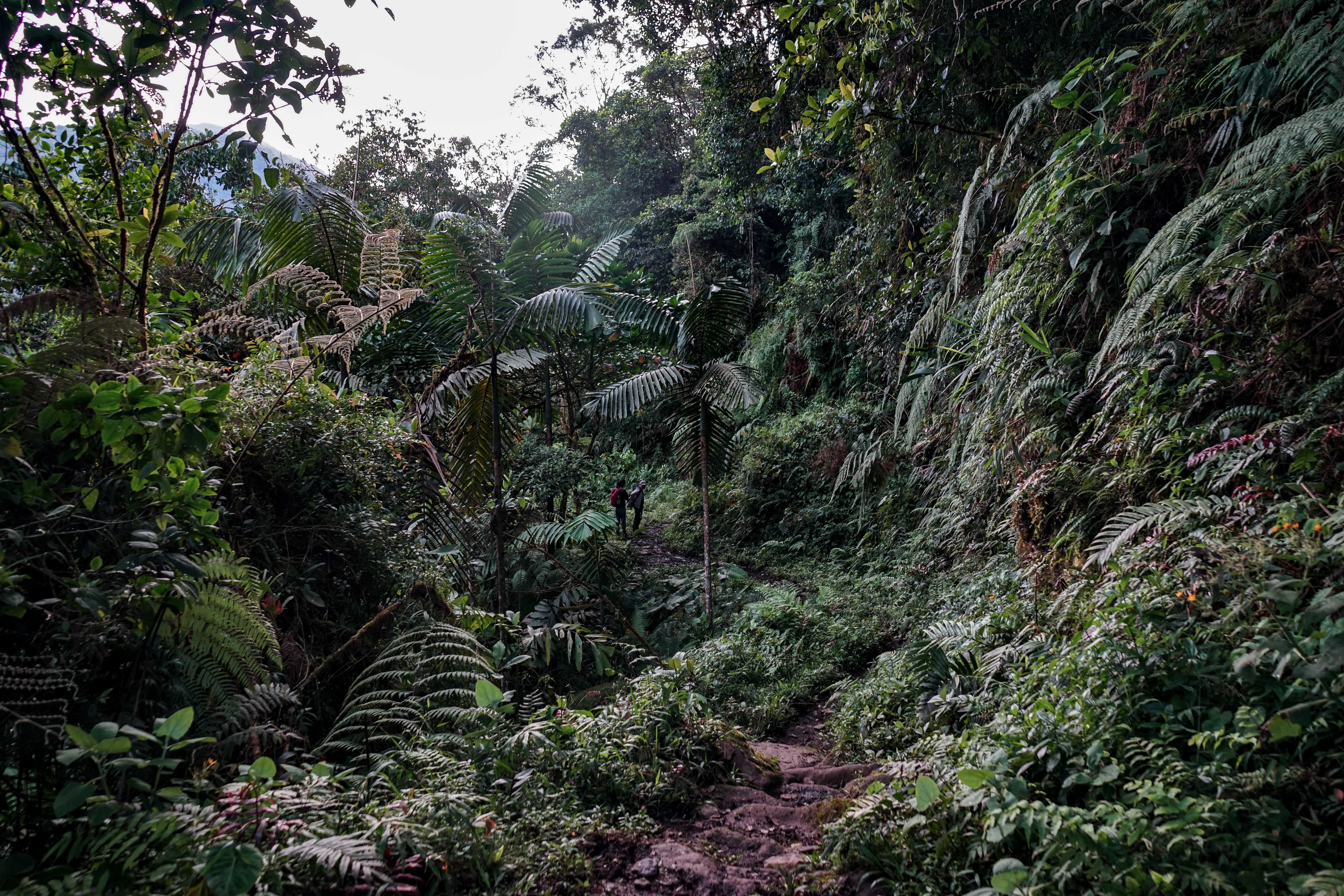
After walking a couple of hours
we still see cattle farms on the
mountain slope.
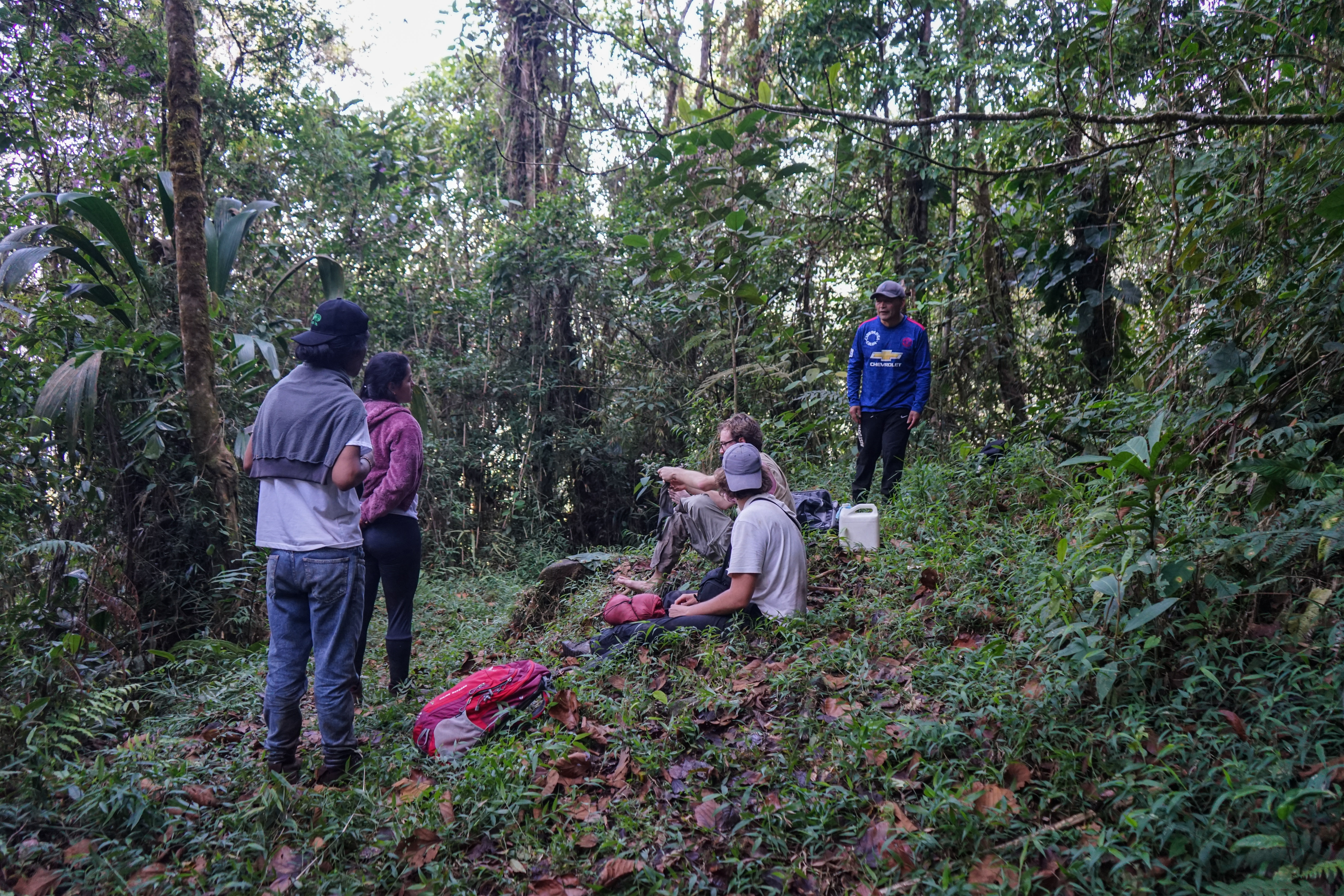
Tambu Kawari
Kawari means panoramic view in
Inga. From the site you can see
both the Kamentsa resguardo and
the Kamentsa-Inga resguardo.
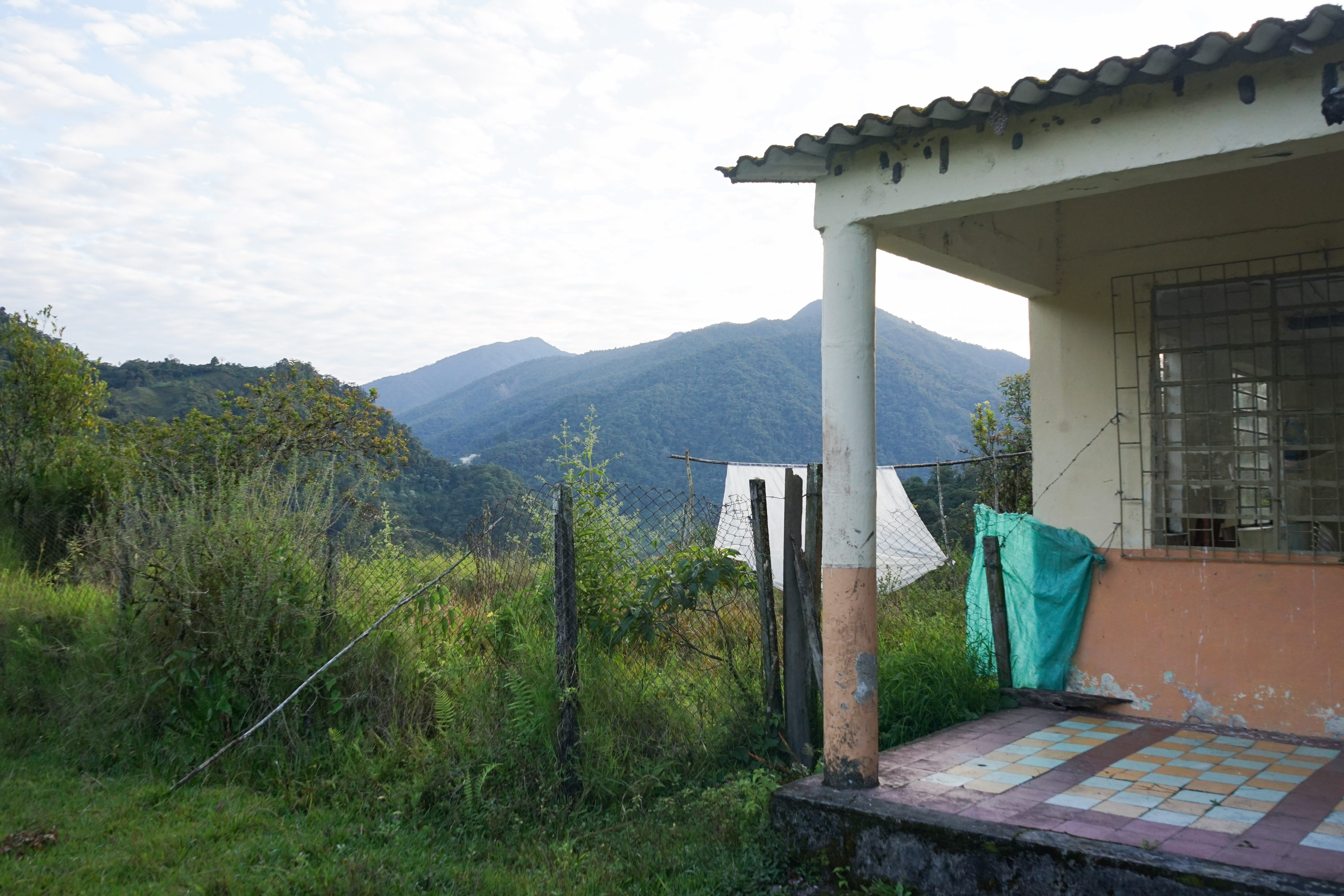
On the plateau are two school
buildings and a ruin. The school is
called Escuela Minchoy.
If the path is to be used as a space
of the pluriversity we imagine the
school could be used as a base
onto which to build places of rest
for future students walking along
the path.
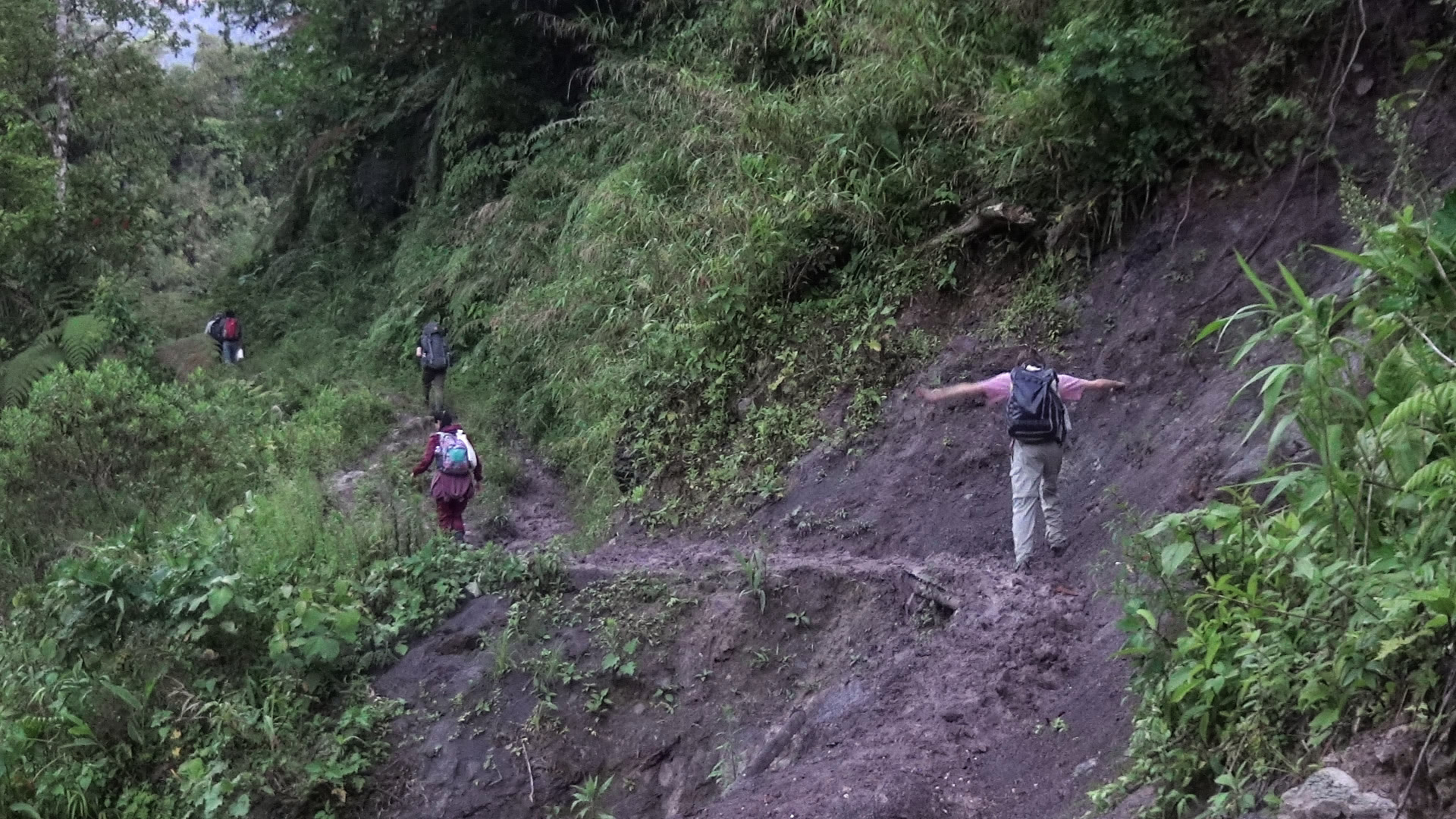
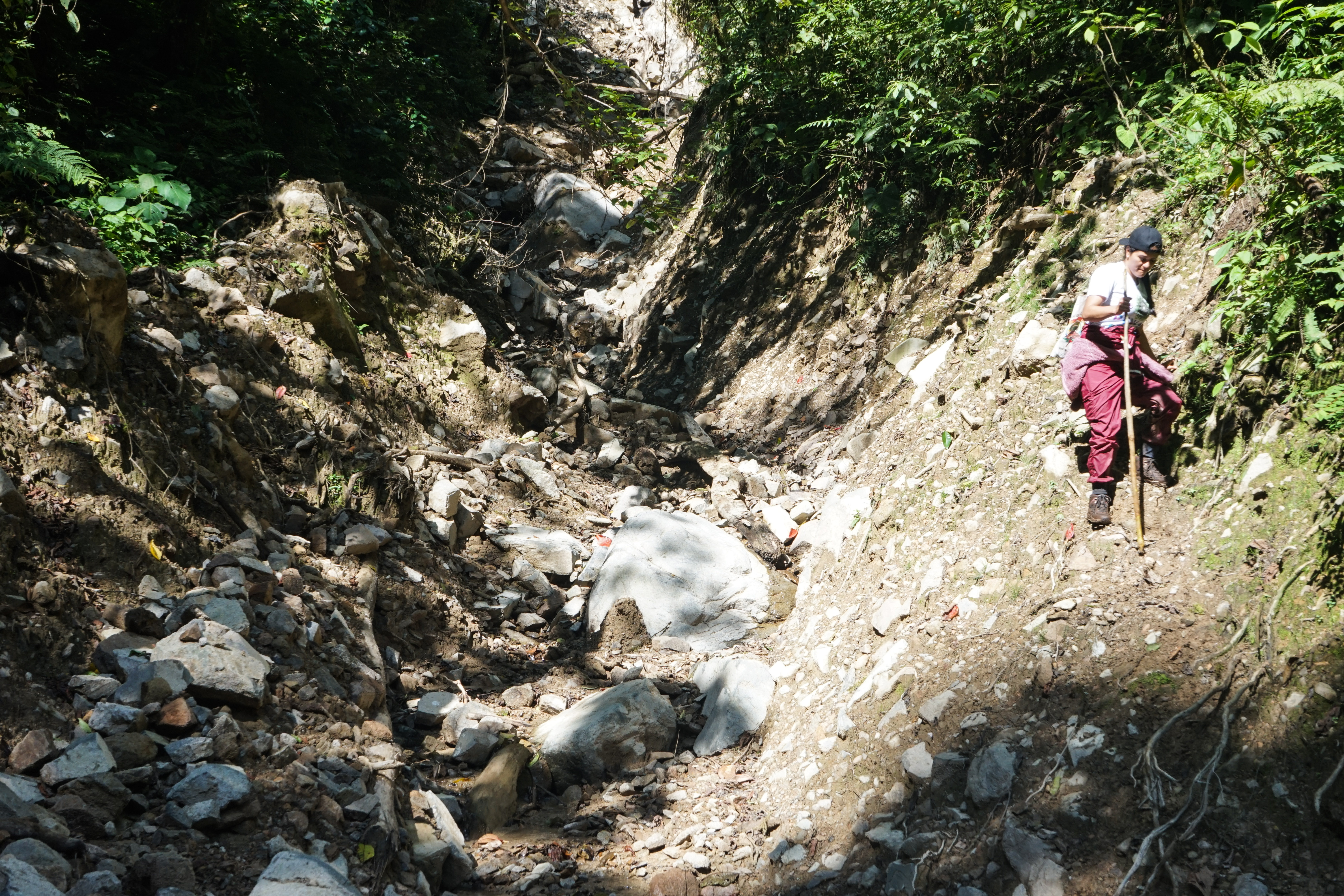
Landslides are a common sight in
this steep landscape. Cattle farming, Illegal deforestation and Mining are catalysts for this phenomenon. While crossing the landslides
every wrongly placed step could
lead to a fall into the abyss
After a small creek we entered the
legal resguardo of San Fransico.
It is shared between the Kamentsa
and Inga.
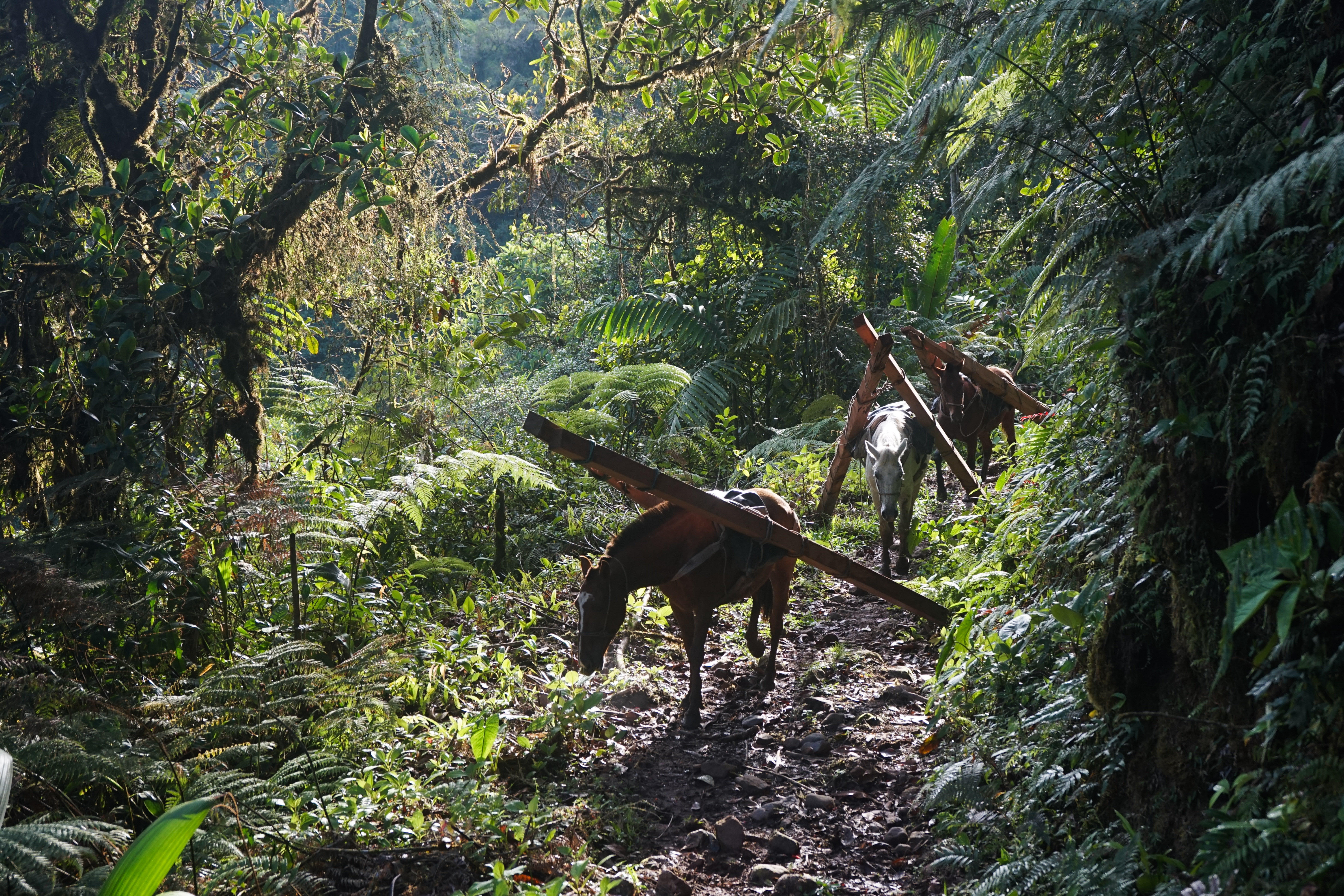
We crossed paths with two men
leading a caravan of horses out of
the forest. The horses carried logs
of about three meters, one on each
side on their backs. A reminder
of the financial situation in theese
regions where the men will adventure themselves down theese
dreading paths to extract precious
hardwoods
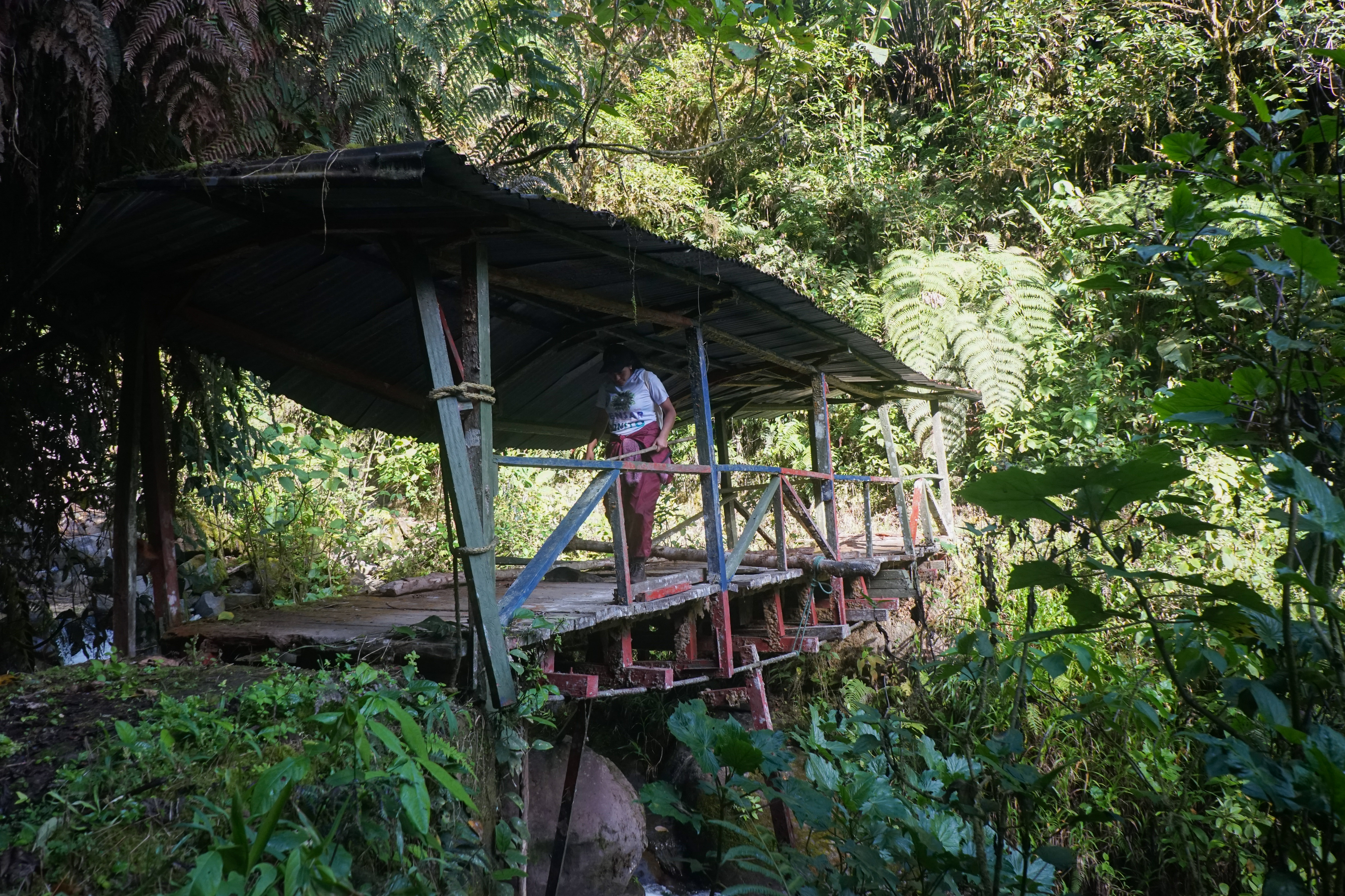
A bridge over a creek coming from
the steep mountains on the right.
The excisting bridge is a light
supended wood bridge with a roof,
but unforntunatly broken. We take
the simple but efficient structure of
the bridge as inspiration to design
a new one.
In parts the path is showing its
long history, the vegetation is hinting toward the compacted soil on
which generations walked before
the parallel road was built in the
1940s.
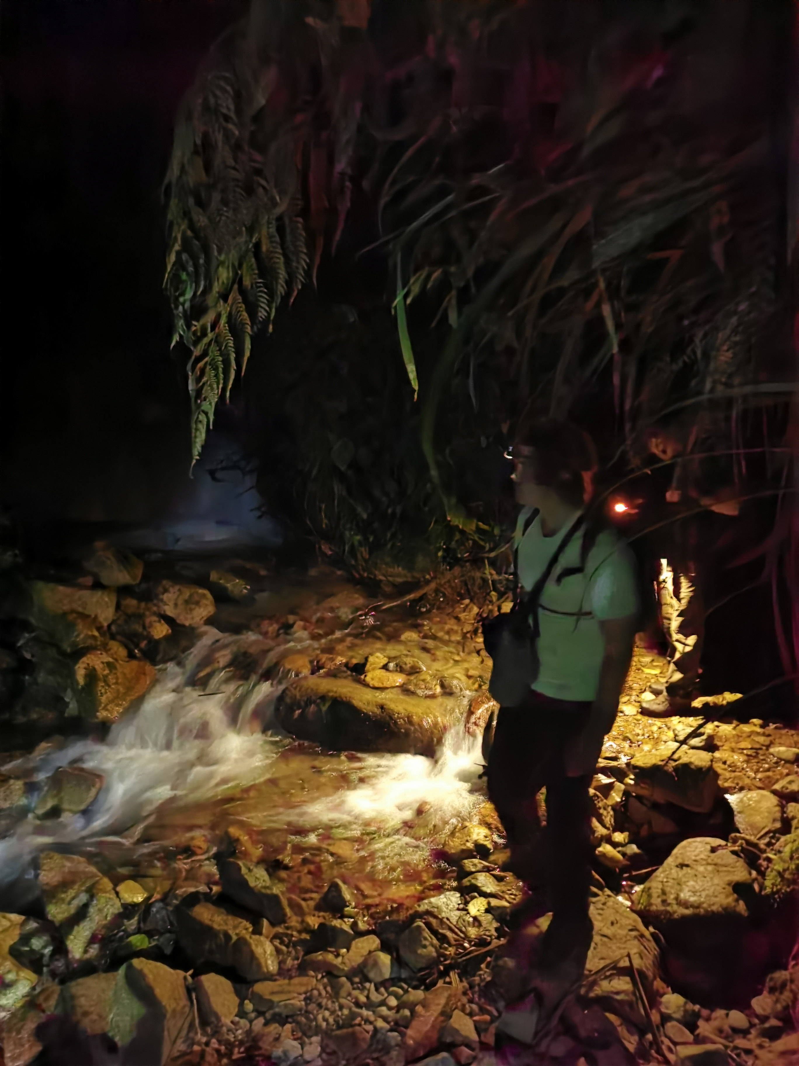
After a long morning of contiinues
walking we have a pause at a creek
where a landslide wiped out the
path and left a clearing.
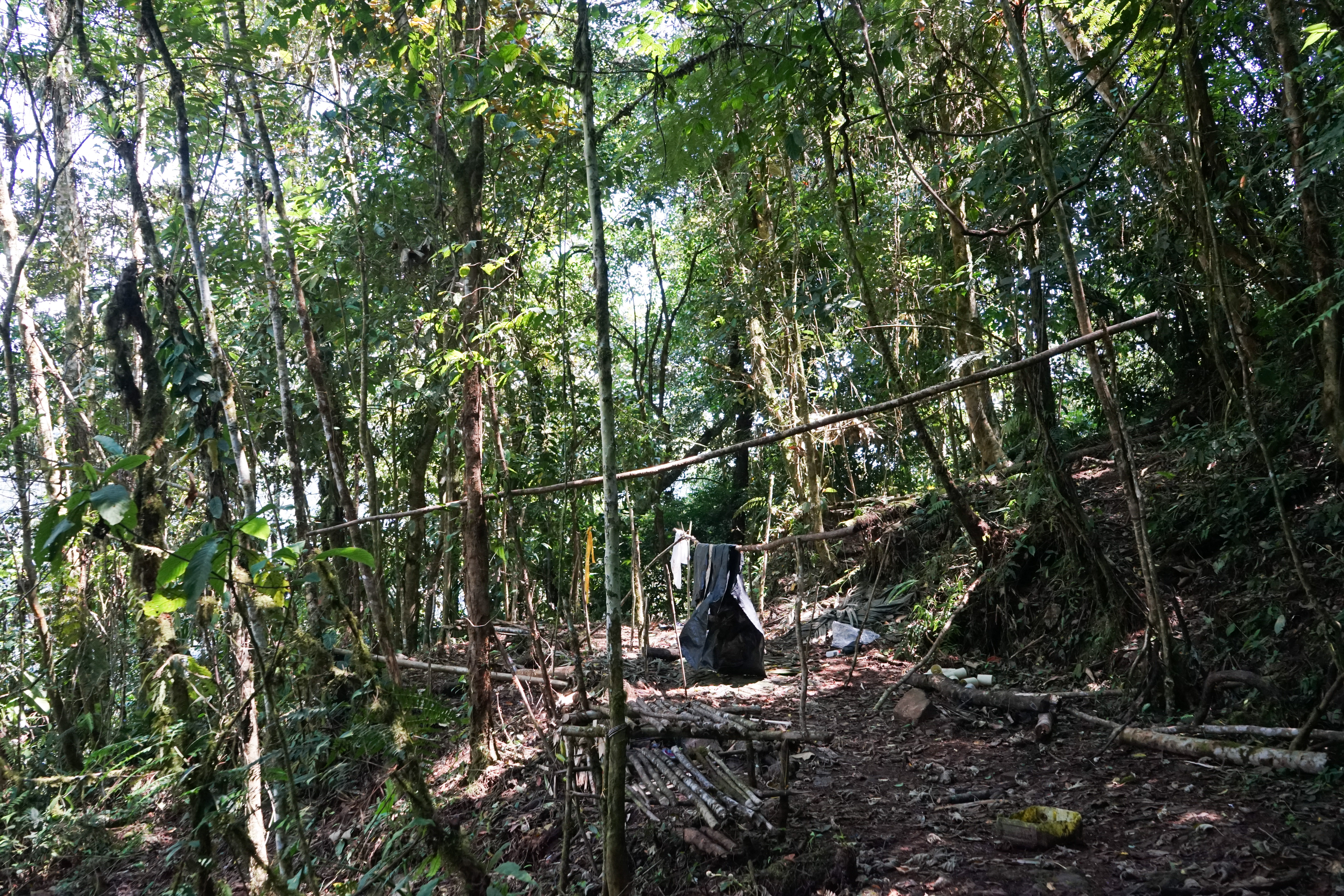
A Camp of woodcutters or workers
of the electricline
The path split into two paths. One
was following the same height
line and another was going down.
We knew we had to walk down
towards the river so we chose the
second option. We were wrong.
Four hours later we would be back
at this point.
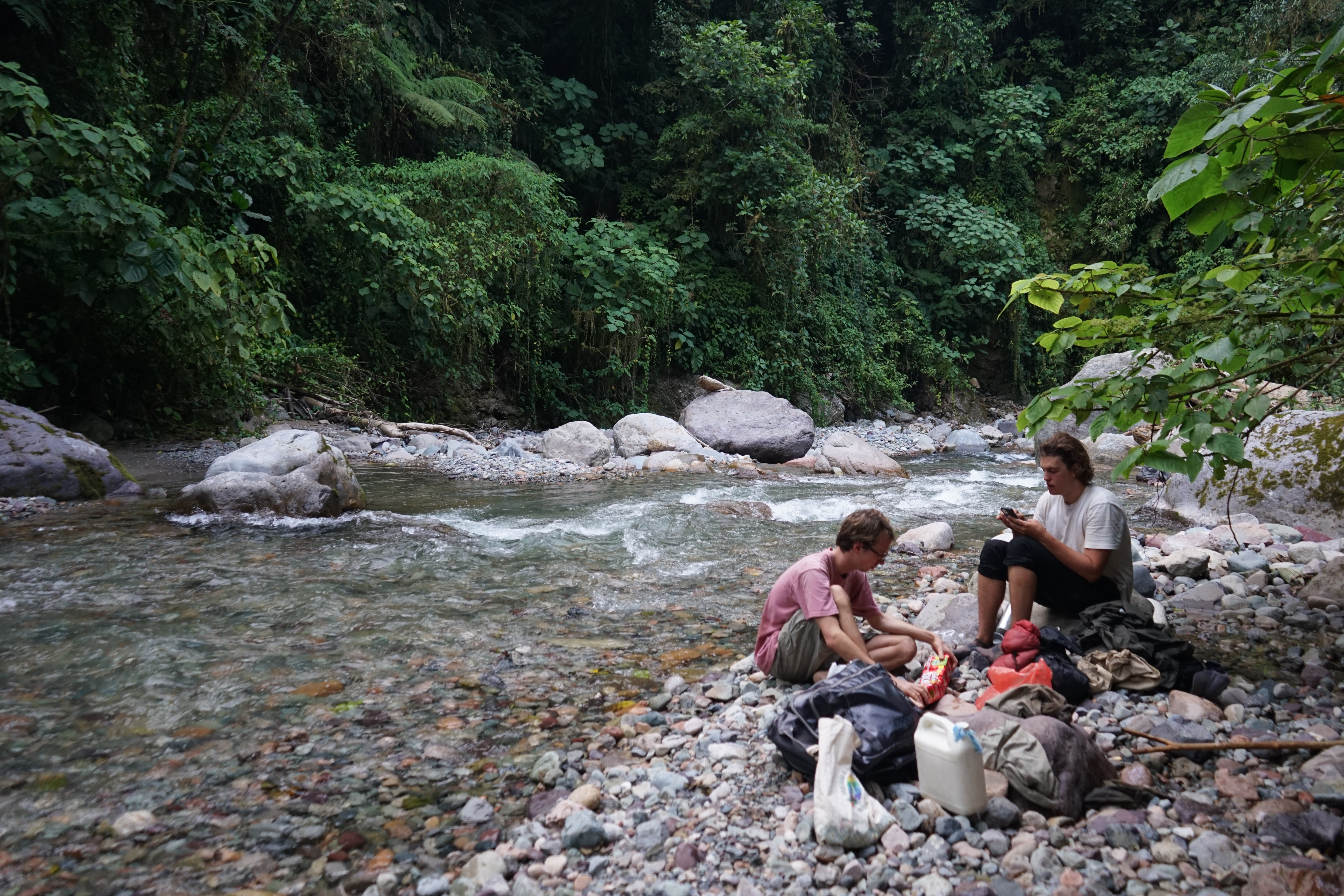
Tambu Iacu
After getting lost we finally
reached the river where we were
supposed to be shortly after midday. We unpacked the food supplies and had the first proper break
of the walk. 45 minutes. Serafin
told us how last time he had
walked the path they had spent the
night here. This is where we would
imagine the second refuge along
the path. Tambu Iacu. Iacu means
water as in this river we had filled
our bottles of water in the river
Tortues.
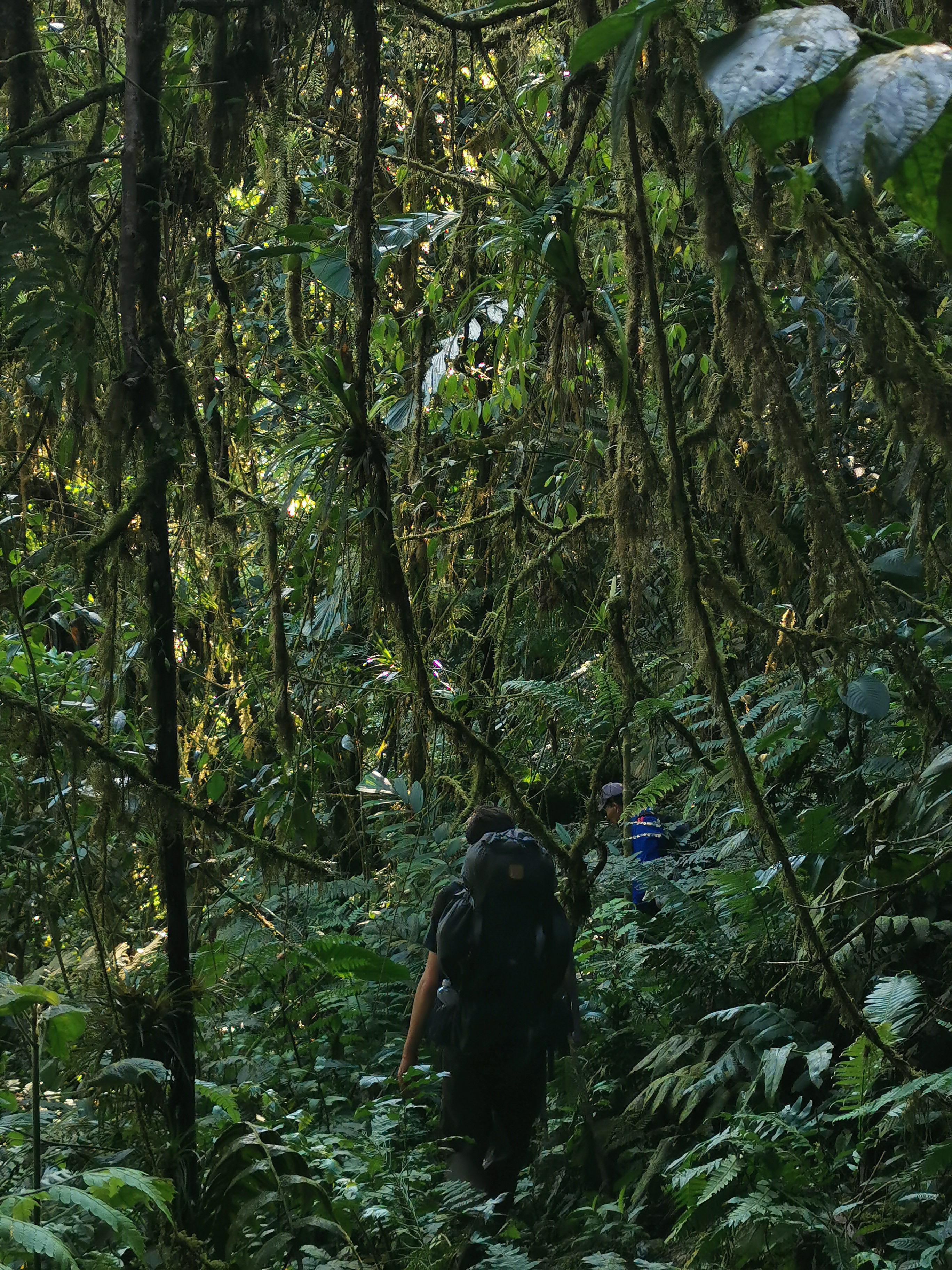
As we walked downwards on the
ridge of the mountain the path
got slimmer and slimmer untill
it almost disappeared. The path
ended at the edge of a cliff. Here
we noticed we walked down the
wrong path.
In the dark we crossend a lot of
landslides where we climbed over
trees and through the mud.
On the fresh landslides the path
can be stabilized with logs from
the fallen trees through pilling
them in the mud. Over time they
rot and the roots of the regrown
vegetation takes over.
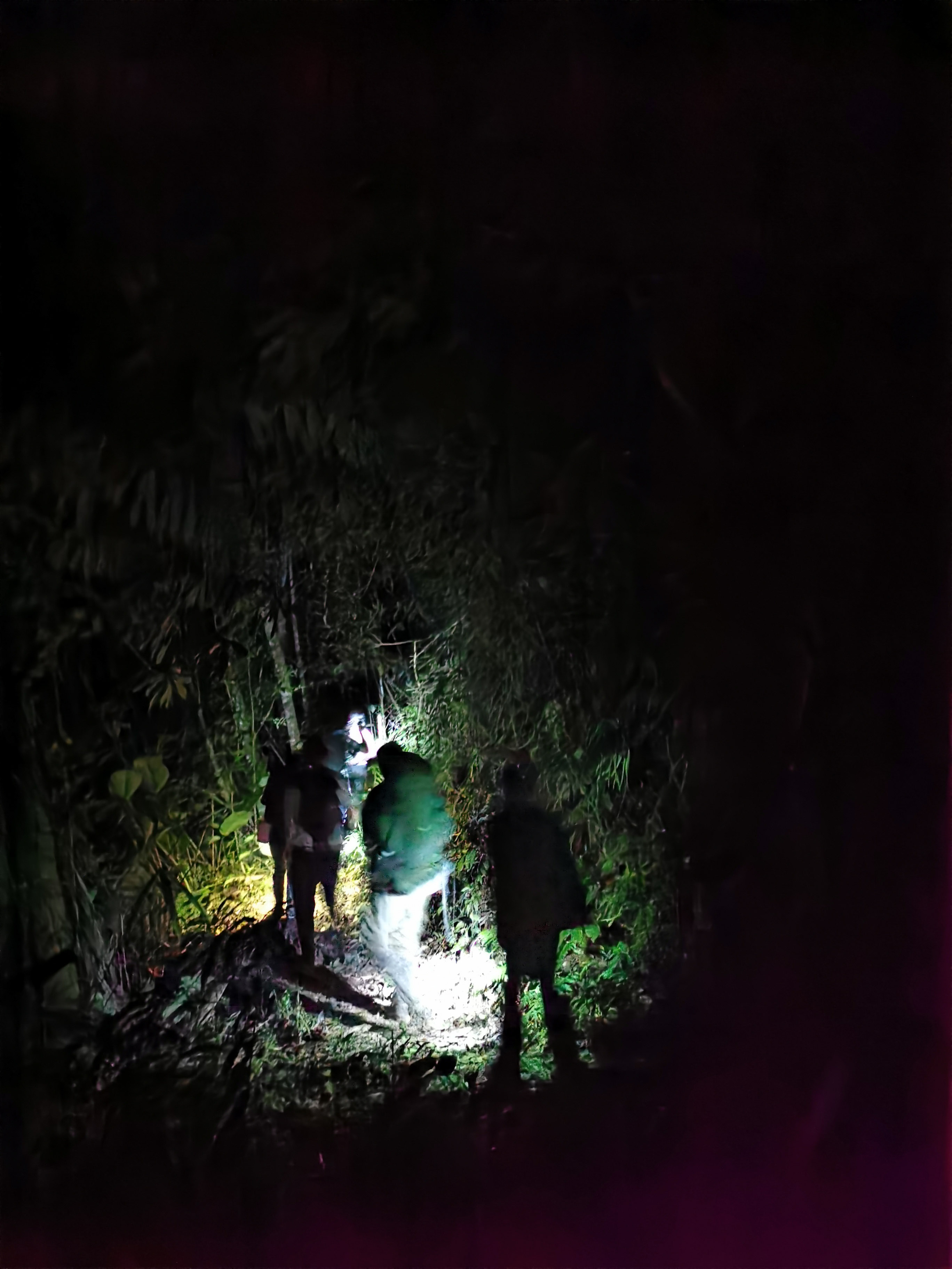
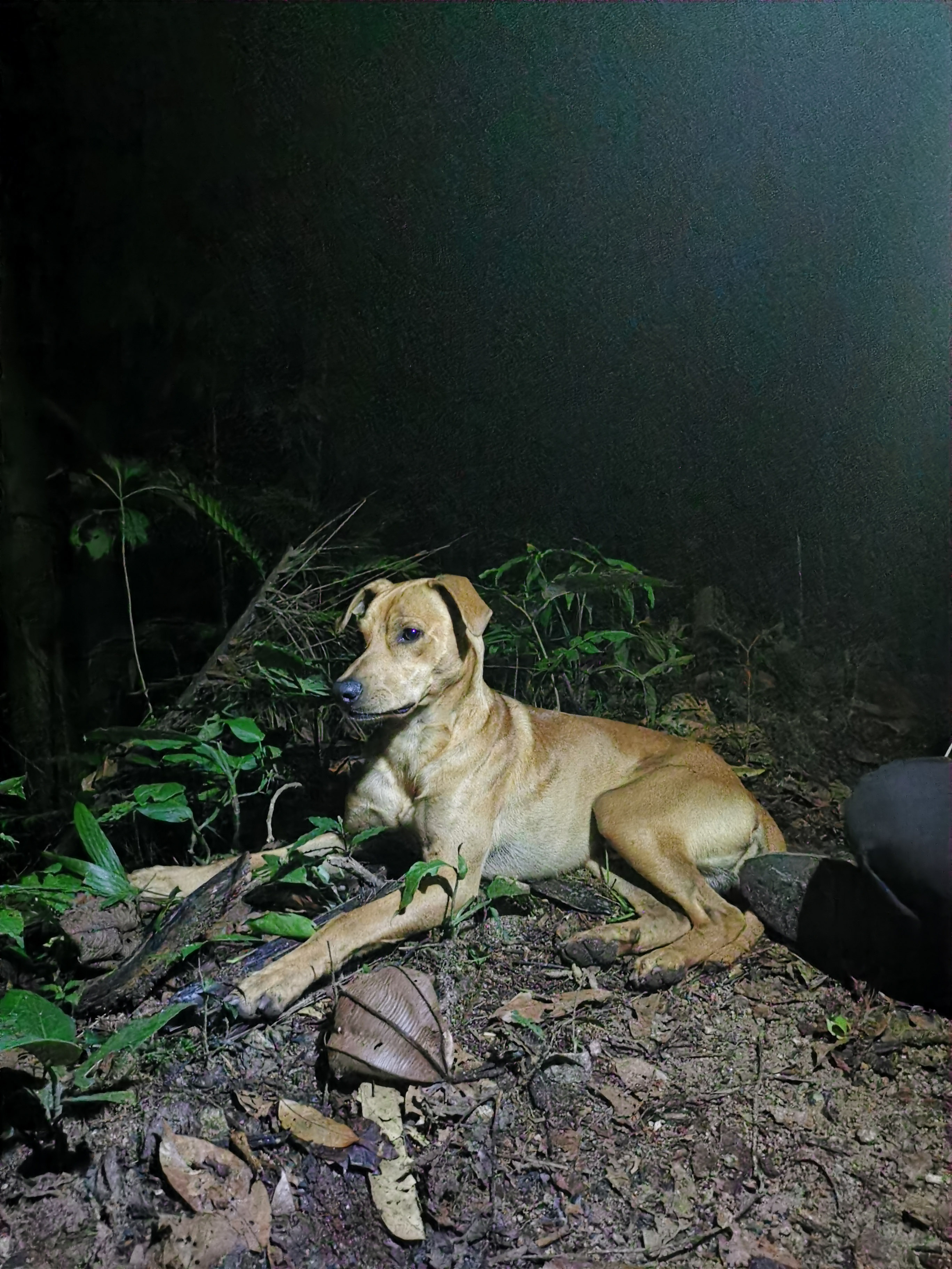
After walking around 4 hours in
the dark friends waited for us with
flashlights and some food. Also a
dog accomanied us from here for
the rest of the path.
The path follows the steep slope
of the mountain. Again and again
entering valleys to cross greeks.
20:30h / 46km
The Canadian company Libero Copper is planning to start a
copper mine across the river in the
valley of the path.
21:30h / 48km
The path opens and we see the sky
of the night. The moon phases give
the rythm for planting and harvesting in the Inga culture.
22:00 / 49km
Miguel Triana a civil engineer
walked through this mountains in
1906 to figure out where to built a
road. Under gunpoint he forced a
indigenous person to guide him
22:00 / 49km
Miguel Triana a civil engineer
walked through this mountains in
1906 to figure out where to built a
road. Under gunpoint he forced a
indigenous person to guide him
24:00h / 52km
At 4 in the morning we arrive at
the gate of the highway construction site. This is as far as a car can
go today into the valley of Rio
Mocoa.